Cool and wet to cold conditions
COLUMBUS, Mississippi (WCBI)- This Monday has been filled with overcast cloud coverage and cool temperatures. A round of rain moves in overnight and into tomorrow before the next one on Thursday.
MONDAY NIGHT: Rain will move in this evening and stick around through the overnight hours. Temperatures tonight fall into the middle 30s.
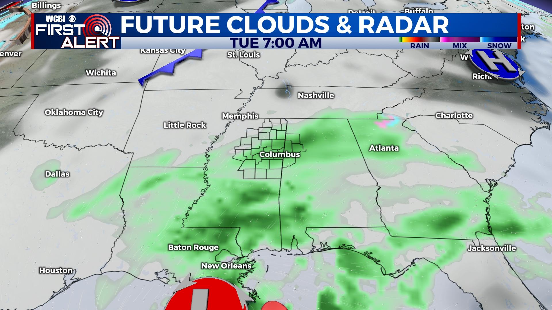
TUESDAY: The morning will begin with rain showers continuing, before both the rain clears out and the clouds lighten up. Sky conditions will remain mostly cloudy though. High temperatures are expected to be in the upper 40s. Overnight low temperatures will be in the middle 30s again.
WEDNESDAY: Temperatures will slightly warm into the low to middle 50s. Sky conditions will be mostly cloudy, but there will be a 0% chance for any rain showers on Wednesday. Low temperatures will also be slightly warmer in the lower 40s.
THURSDAY: Overcast cloud coverage will fill up the sky throughout the morning and afternoon. High temperatures will be mild, in the middle 50s. A major cold front will be passing through and will bring in an Arctic Blast from the Siberian region of Russia. There is a 50% chance of seeing precipitation. Rain showers will start off, with a light chance of seeing some mixed precipitation towards the overnight hours. Low temperatures take a massive drop into the teens.
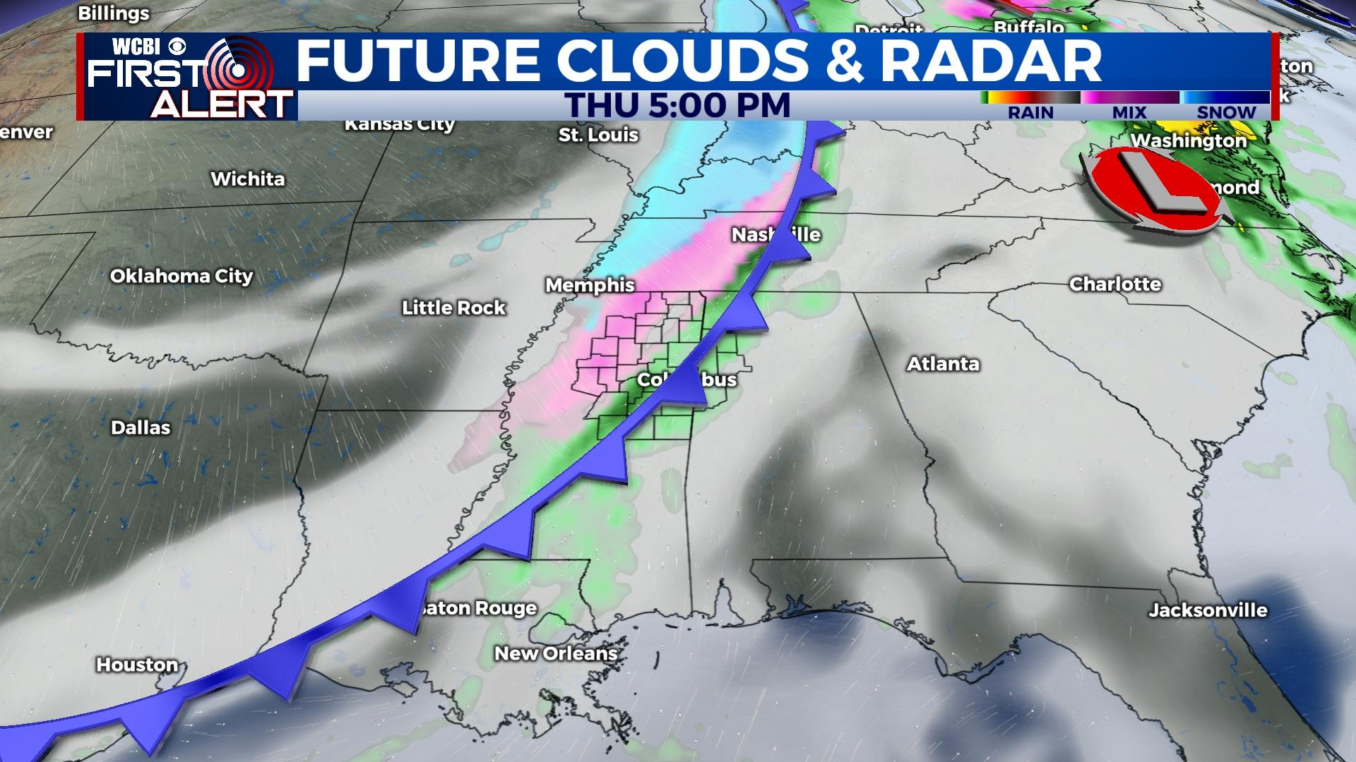
FRIDAY: There may be a chance to see some light flurries, but nothing is expected to stick. Black ice and flash freezing is the main hazard to be aware of going into the holiday weekend. High temperatures will be in the lower 20s! Overnight low temperatures will be in the lower tens! Be cautious of your pipes and pets during this time.
6 days until Christmas!


