Cooler air temporarily returns, warmer again by Sunday
COLUMBUS, Mississippi (WCBI) – After two days in the 80s, temperatures drop into the 50s and 60s Friday. Warmer air quickly bounces back Sunday.
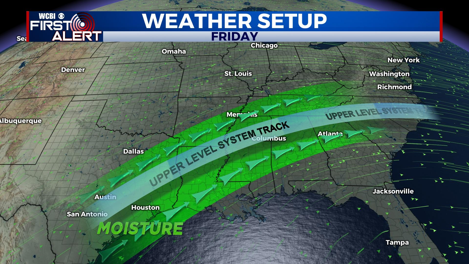
FRIDAY: After record breaking heat Thursday, a cold front will temporarily pause the warm air for the day. Expect widespread cloudiness and occasional showers much of the day with temperatures in the 50s and 60s.
WEEKEND: Thursday’s front will slowly return northward as a diffuse warm front, bringing a gradual return in above average temperatures. Cloud coverage will remain relatively widespread Saturday, keeping highs in the upper 60s with isolated showers. Sunday brings back the heat with highs soaring into the upper 70s and limited rain.
NEXT WEEK: A quick-moving system will bring a fast round of scattered showers and possibly a thunderstorm Monday. Behind that Pacific front, temperatures will actually stay in the 70s through mid-week. A sunny, dry day is on tap Tuesday before clouds quickly return Wednesday. A stronger system is set to bring a much higher chance for rain Thursday into Friday.


