End of the week rain chance
COLUMBUS, Mississippi (WCBI) – Hopefully, conditions were enjoyed for the first half of the week. The second half of the week will be more unsettled, bringing in the showers and storms.
WEDNESDAY NIGHT: Moisture continues filling in for another mild night. Temperatures only fall into the upper 50s tonight. Cloud coverage will continue filing in towards Thursday morning.
THURSDAY: Morning starts with heavy cloud coverage and possibly a few light sprinkles. Temperatures will continue the warm trend, returning to the upper 70s and potentially lower 80s. By the late afternoon, there could be a few scattered showers and thunderstorms across NE MS and the MS/AL border. More mild Thursday night, with overnight lows in the middle 60s. Going into Friday morning, a cold front with heavy showers and storms will build near the Memphis area.
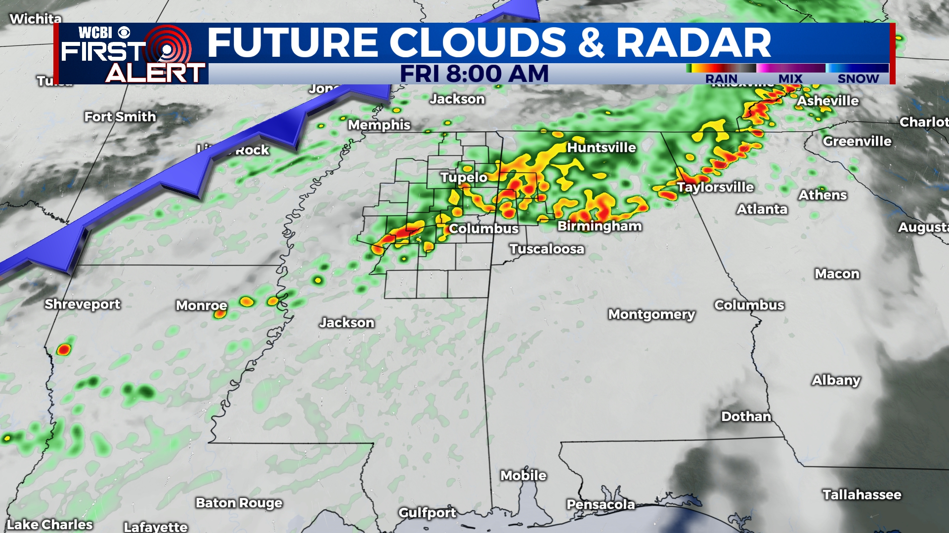
FRIDAY: Uncertainty remains, given the chance of storms moving in during the morning hours. There’s a chance of strong storms if they hold together from overnight, but it’s plausible morning storms weaken and give way to new storms by midday/afternoon. Regardless, the environment will at least be marginally conducive for strong to severe storms…so stay tuned for more updates!
WEEKEND: There’s some hope there will be extended periods of dry time Saturday. At this point, St. Patrick’s Day Sunday holds slightly better potential for rain. However, with a stalled front nearby, prepare for additional forecast updates.