Flash flood risk Thursday, more rain & storms Friday
COLUMBUS, Mississippi (WCBI) – Areas of significant flooding are possible Thursday where heavy rain develops. Additional heavy rain and storms are likely Friday.
THURSDAY: While forecast confidence has increased on heavy rain and potential flooding, confidence on exactly where remains low. That being said, most of central Mississippi remains in a flood watch. Should focused areas of heavy rain develop, a quick 3-6″ of rain is possible…with locally higher amounts. This could cause significant flash flooding, so remain alert and take any warnings seriously! Rain intensity should taper off by mid to late afternoon.
THURSDAY NIGHT: Mostly dry weather holds, though a few showers could redevelop and/or move in from the northwest.
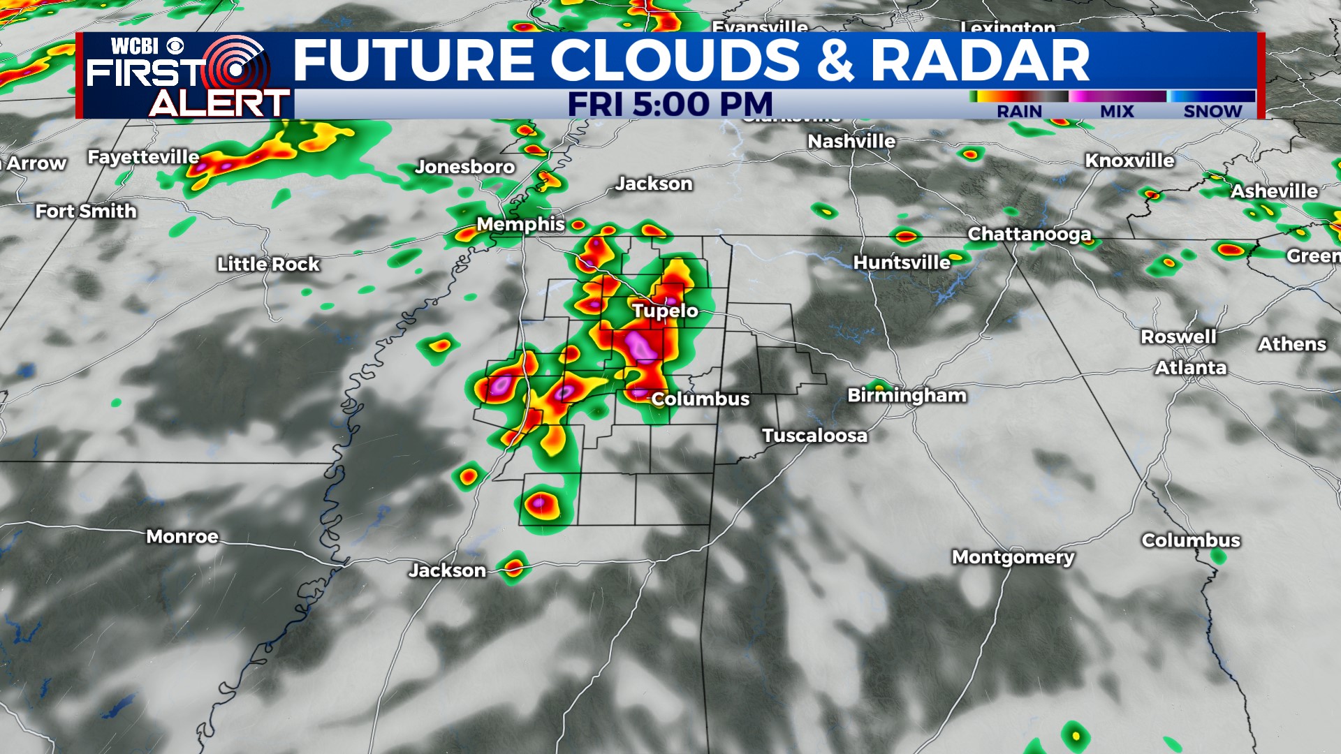
FRIDAY: A fairly widespread coverage of rain and storms is expected yet again, this time more focused in the afternoon hours. Before storms develop, highs should reach near 90 degrees.
WEEKEND: A relatively active upper-air flow will continue, and this could mean potential for yet another storm complex or two. Relative to past weekends, this looks less favorable…but we’ll be watching! Regardless, we expect some storms each afternoon with highs in the low 90s.
NEXT WEEK: An upper-air ridge may take shape across the Mid-South, reducing rain chances and increasing temperatures. We’re not biting on any extreme heat yet, but highs in the middle 90s by next Tue/Wed seem likely.


