Forecast set to go from hot to stormy in the coming days
COLUMBUS, Mississippi (WCBI) – SUMMARY: Record high heat continued today with highs in the low-90s across much of the region. Fortunately, a pattern shift is in the near future as rain returns to the region and a cooler air mass settles in.
TONIGHT: Mostly clear with lows in the low-70s. South wind around 5 mph.
FRIDAY: Sunny with highs in the low-90s. Breezy at times. South wind 5-10 mph with gusts up to 20 mph.
FRIDAY NIGHT: Mostly clear with lows in the low-70s. South wind around 5 mph.
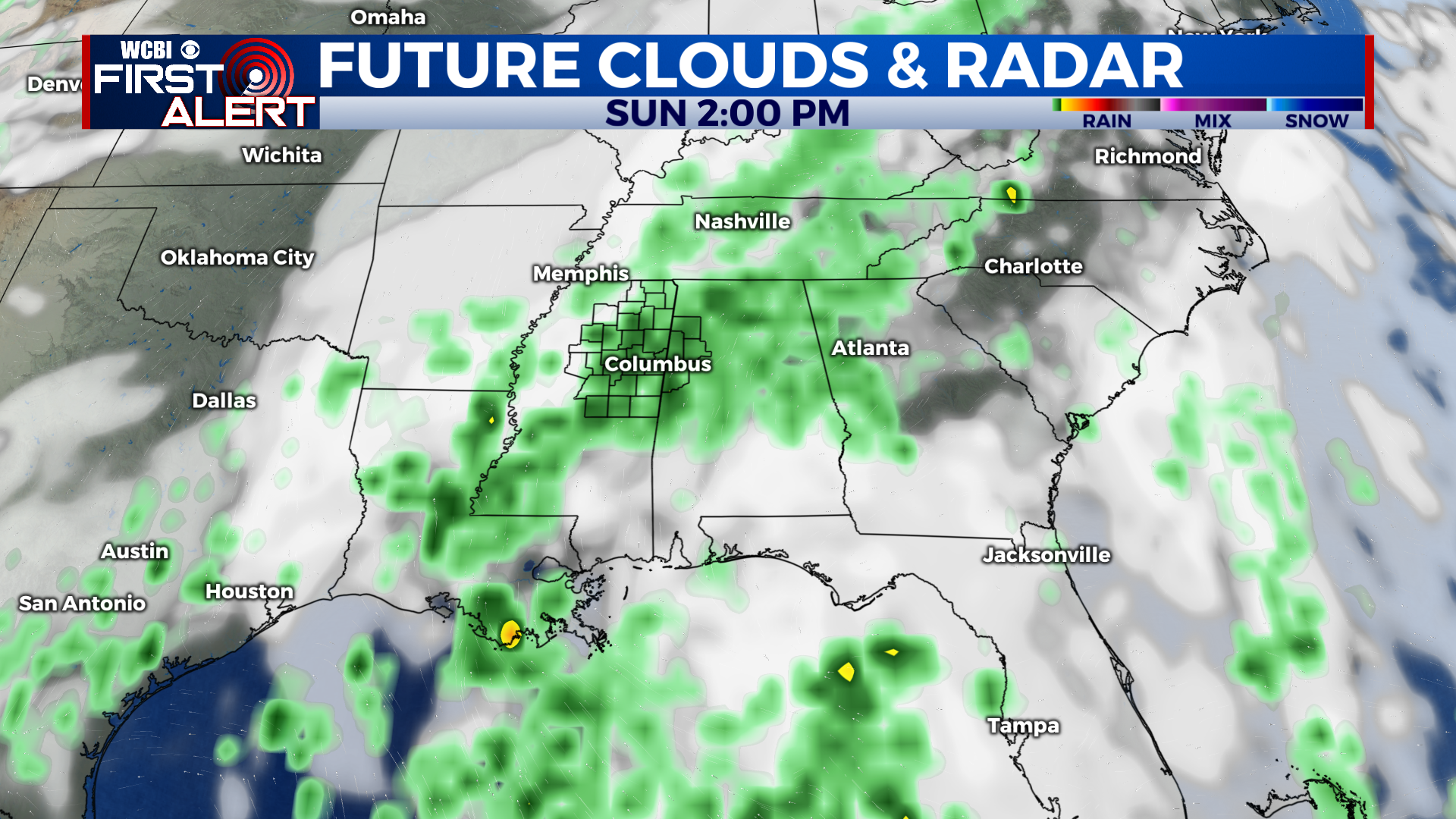

EXTENDED FORECAST: Rain returns to the region this weekend and we will keep at least a small chance of rain through much of next week. Isolated showers and thunderstorms Saturday afternoon will become more numerous later in the evening as our first system approaches the region. Some storms may be strong Saturday night with heavy rain, frequent lightning, and gusty winds. Showers with a few thunderstorms will remain likely Sunday with highs topping out in the upper-70s. An unsettled pattern will remain in place next week as several disturbances move across the Deep South, producing a chance of rain each day.


