Front passes today and ushers cooler air in for Friday
COLUMBUS, Mississippi (WCBI) – SUMMARY: A cold front brings isolated showers this afternoon and much cooler air back to the region by early Friday.
THURSDAY: Mostly cloudy, warm, and humid weather rules the story with highs in the upper 70s to near 80 degrees. There could be a few redeveloping showers as the front passes in the afternoon, but the coverage should remain isolated.
THURSDAY NIGHT: Once the front clears, rapid clearing is expected behind it as temperatures fall. Overnight lows will dip back into the 40s!
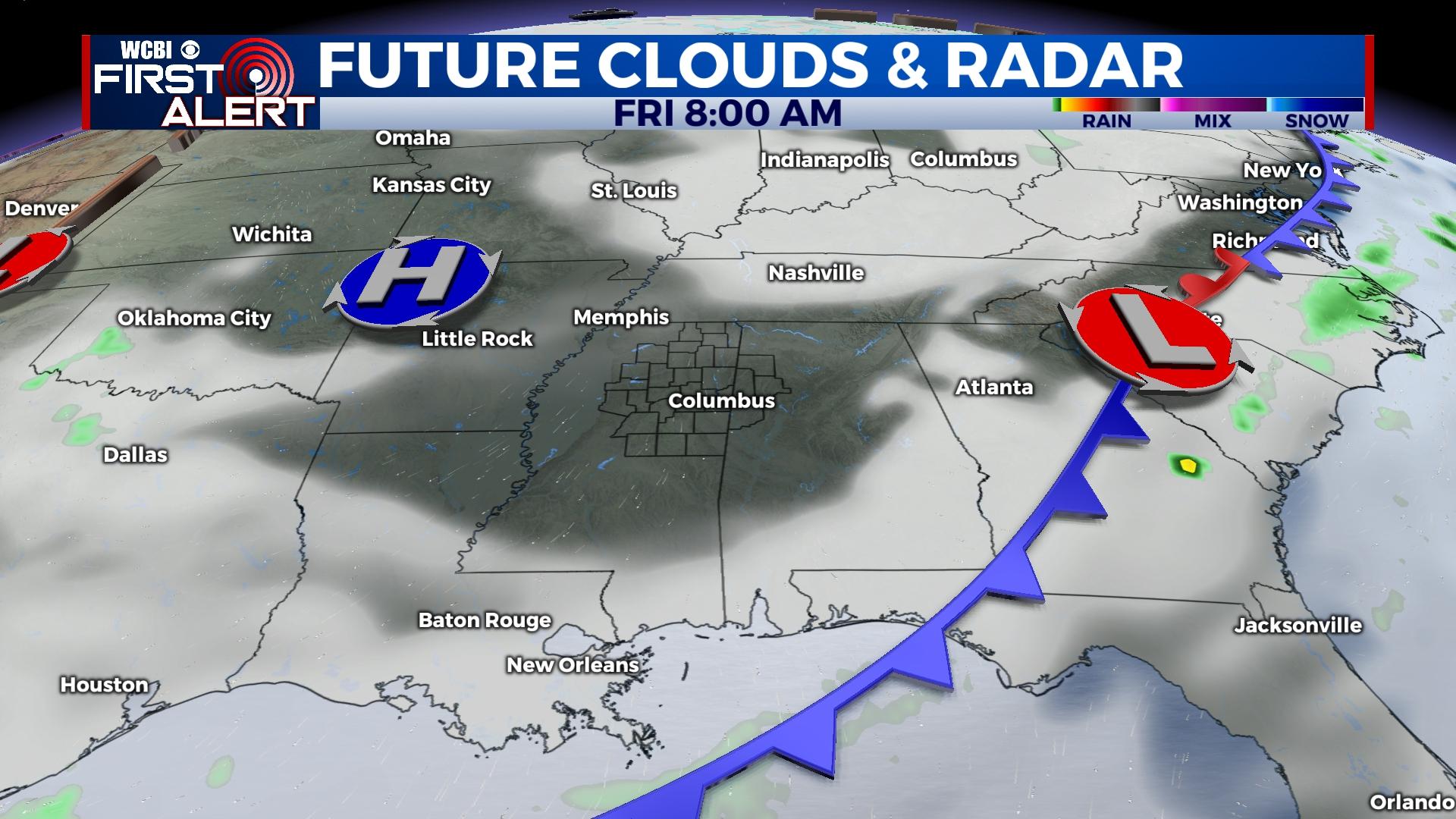
FRIDAY: A pleasant fall day is on tap – expect plenty of sun with highs in the lower to middle 70s.
WEEKEND: Saturday starts chilly in the low 50s, but the weekend will feature a warming trend yet again. Expect daytime highs in the low 80s Saturday and in the mid 80s Sunday.
NEXT WEEK: Monday will bring the first of two cold fronts through the region. Expect isolated showers and storms Monday afternoon with highs in the lower 80s. A brief reprieve in the rain settles in Tuesday, but additional showers and storms will become likely Wednesday as a stronger system approaches. There remains discontinuity between the two major computer models, but this system will need to be watched for stronger storm potential.


