Half and half weekend
COLUMBUS, Mississippi (WCBI)- Rain showers and thunderstorms finish off this week and start the weekend. By Sunday, changes are expected! Temperatures staying warm throughout next week.
FRIDAY: A cold front will be approaching from the West, so it is going to be another mostly cloudy day. The cloud coverage will stick around and fill in ahead of the front. High temperatures will be in the lower 80s. There will be a light chance for scattered showers tonight, at a 20% chance. Low temperatures tonight will be in the middle 60s.
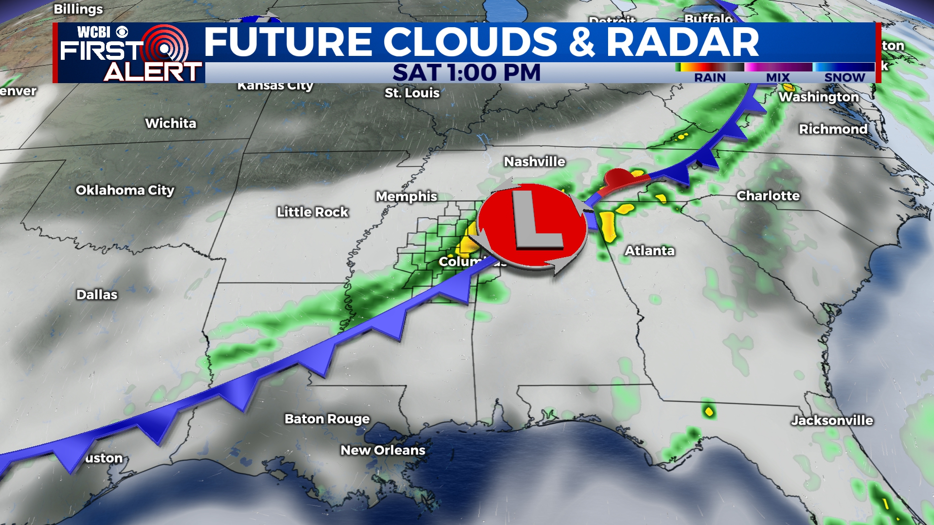
SATURDAY: As the front continues moving in across Mississippi throughout the morning, showers and possibly a few thunderstorms are expected. High temperatures will be right back in the lower 80s. Once the front passes, rain will begin to dry out and clouds will slowly clear. Overnight low temperatures will be in the low to middle 60s.
SUNDAY: Removing the moisture and humidity from the air! Conditions Sunday will start to become a bit more enjoyable. The high temps will remain in the lower 80s. The sky will be partly clear to mostly sunny. Low temps will stick to the middle 60s.
NEXT WEEK: Expect to have more warm temperatures, as the highs will continue in the low to middle 80s. Sky conditions are going partly cloudy to mostly clear, with very light chances for rain (if any). Low temperatures will be mainly in the lower 60s.


