Hot, mainly dry start to the week
SUMMARY: A ridge of mid-level high pressure remains anchored across the southern states to start the week, and that means less rain and more heat & humidity for the Twin State region in the next few days.
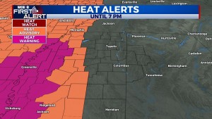
MONDAY: Mostly sunny and HOT with highs in the 90s and heat indices over 100 degrees for most. A heat advisory is in effect for Carroll, Montgomery, and Grenada counties until 7 PM this evening. In these areas, the heat index could soar over 105 degrees at times today.
TUESDAY: The weather sets up similar to Monday – plenty of sun and heat with highs in the middle 90s and heat indices 100-106 degrees.
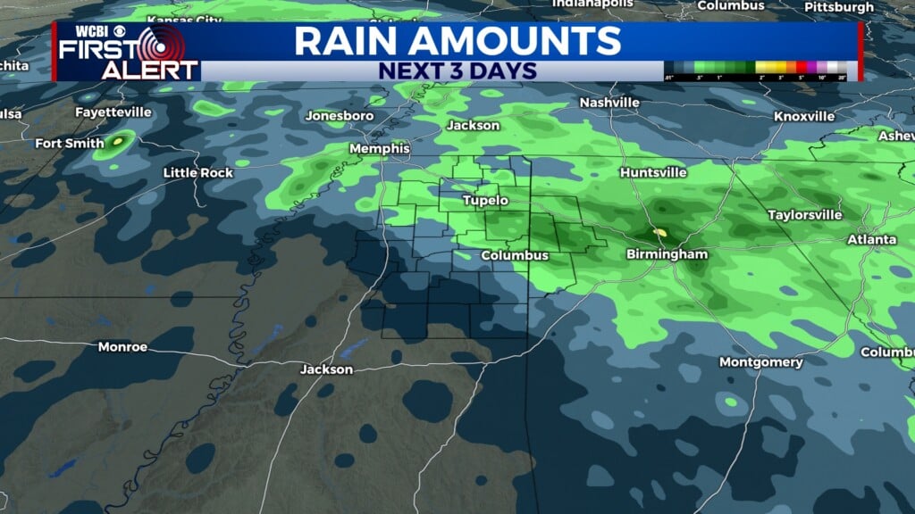
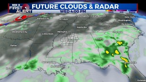
WED-FRI: Temperatures come down several degrees thanks to an increase in cloud cover and afternoon rain chances. While each day won’t be a washout, isolated showers and thunderstorms will be possible…mainly in the afternoon. Daytime highs will be int he upper 80s to near 90 degrees.
WEEKEND: Isolated, mainly afternoon showers and storms remain possible with highs near 90 degrees.