Hot Thursday before showers, cooler air Friday
COLUMBUS, Mississippi (WCBI) – Another day of potential record heat is in store Thursday. Cooler air briefly moves in Friday.
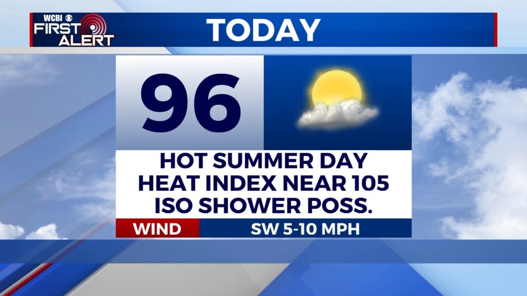
THURSDAY: Expect a mix of sun & clouds with highs back in the 80s, potentially tying record highs in the area. A brief shower or two is possible through the day, but the main story will be the heat.
THURSDAY NIGHT: A few more showers could develop late in the evening as a cold front settles in from the north. Temperatures should drop into the 60s in the south to mid 50s north.
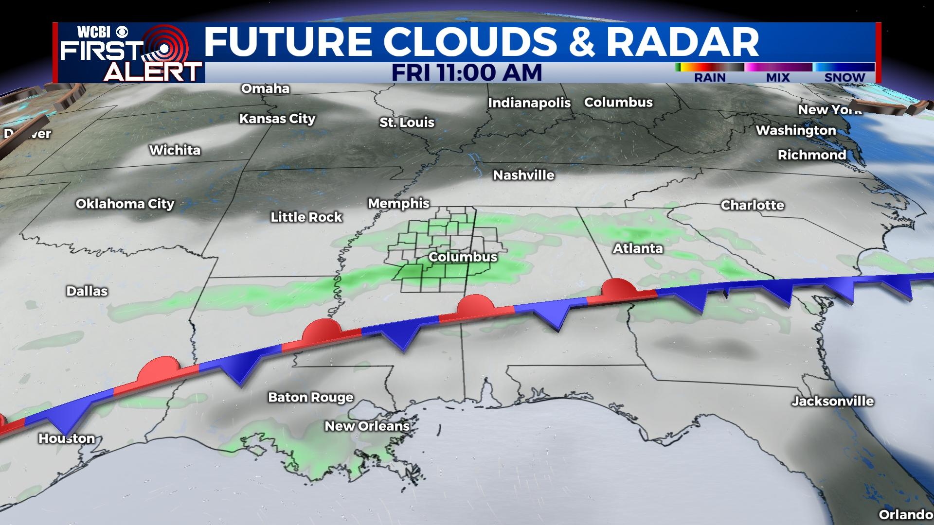
FRIDAY: Rain coverage should increase with scattered to occasionally numerous showers around the region. With added rain chances and extra cloud cover, afternoon temperatures will likely hold in the 50s.
WEEKEND: Friday’s front will begin returning northward as a diffuse, ill-defined warm front Saturday. Occasional, brief showers are possible with a mostly cloudy sky both days. Highs will average out at 70 degrees Saturday, but most areas will see much warmer air Sunday in the upper 70s.
NEXT WEEK: Another strong Pacific front will swing through Monday, bringing another good chance of rain and possible thunderstorms. The weather stays generally warm and above average behind Monday’s front, and a much stronger system is in the pipeline for the end of next week.