Isolated showers and thunderstorms return to the forecast
Isolated showers and thunderstorms return to the forecast over the next few days. Our best chance for rain will be Wednesday and Thursday. This weekend continues to trend toward dry weather and above average temperatures.

TONIGHT: A few clouds late with low temperatures in the low-60s.
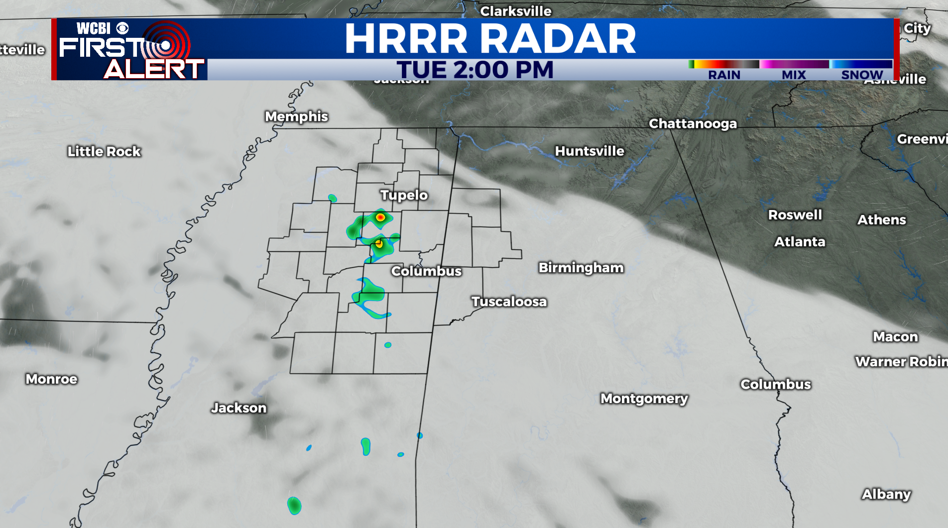
TUESDAY: Increasing clouds with afternoon high temperatures in the mid-80s. A few isolated showers or thunderstorms will be possible. Chance of rain: 30%.
TUESDAY NIGHT: Mostly cloudy and calm with low temperatures in the mid-50s. An isolated shower ending early.
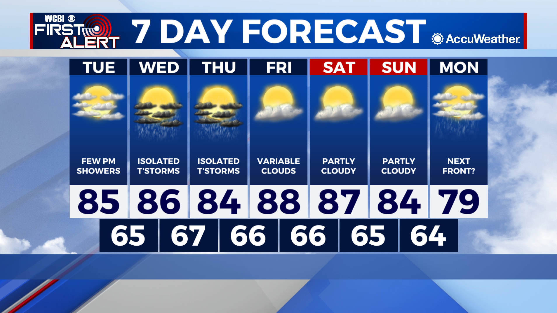
THIS WEEK: Isolated showers and thunderstorms will be possible Wednesday and Thursday as a shortwave trough meanders across the region. As we near the weekend, a ridge of high pressure will build into the region and decrease rain chances through Sunday. By Sunday afternoon, models indicate a weak trough will begin to push toward the region. This will increase our chance for rain Sunday night and Monday with widespread rain possible. Timing and overall intensity remains in question, so we are only going with an isolated chance of showers Monday until confidence increases in the forecast models. Behind the trough, dry air will settle into the region with temperatures returning to the upper-70s.