Late-week rain chances and cooling brings high hopes
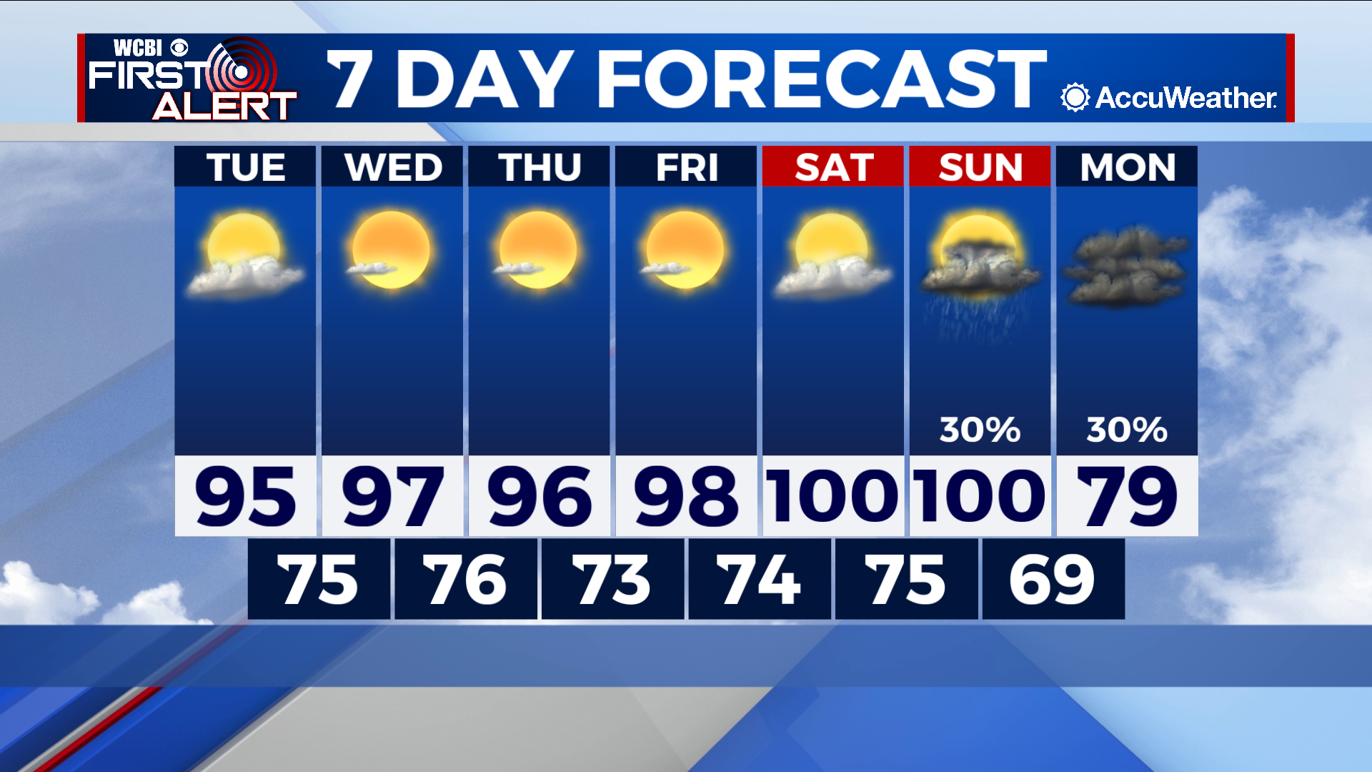
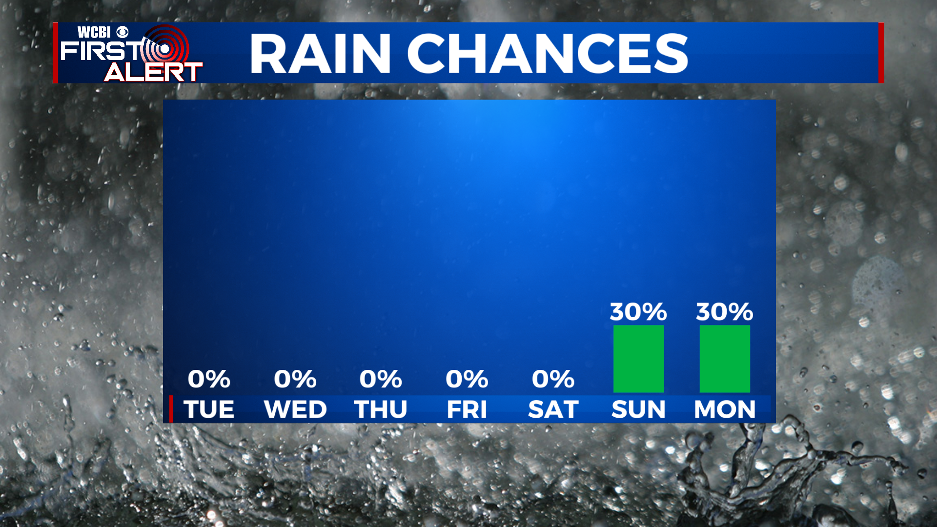
COLUMBUS – SUMMARY: Continual warming into the upper 90s and eventually 100s throughout the week makes the prospect of some rain late this week and into next week a tantalizing one. More so than just rain relief, a steep drop into the upper 70s Monday brings us the chance to enjoy milder and more comfortable outdoor conditions.
TUESDAY: We continue to slowly but surely warm heading into Tuesday, with highs topping out in the mid 90s. Some scattered cloud cover should provide some much appreciated shade, and the odd shower or thunderstorm cannot be ruled out. Lows bottom out in the mid 70s overnight.
WEDNESDAY: The increase in temperature becomes more noticeable Wednesday with afternoon temperatures in the upper 90s. Mostly clear skies and dry conditions aid in the warming as the driest stretch of the week makes it’s entrance. Lows hit the mid to upper 70s overnight.
REST OF THE WEEK: The key word for the rest of the week is patience. We warm into the 100s by Saturday before a couple rain chances show up on the agenda. Most of the rain will come in the form of scattered showers or thunderstorms, and there is no guarantee that all of us get rain. We will keep you updated on the rain situation as we get closer to the weekend. Even more intriguing is the potential for some significant cooling heading into next week, as highs drop from the 100s Sunday into the upper 70s Monday. Lows will mostly hold steady in the mid 70s throughout the rest of the week.