Much calmer forecast ahead
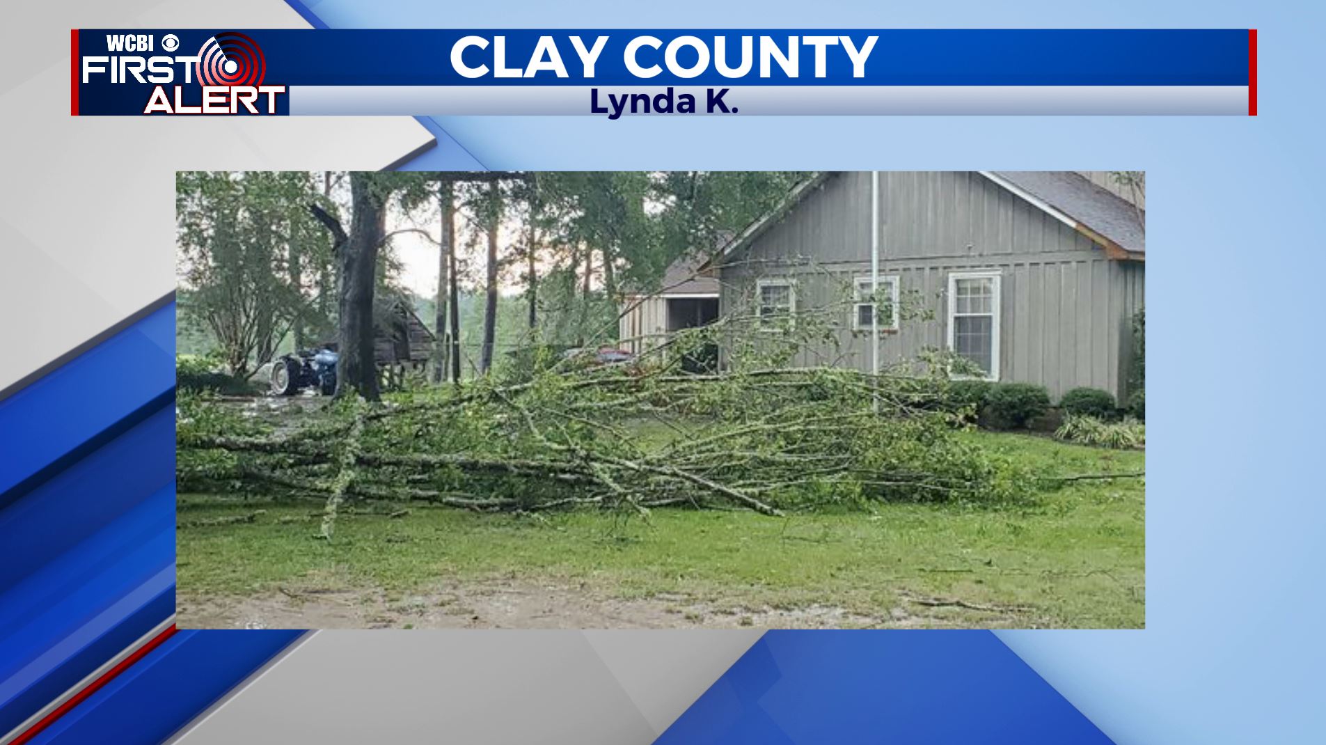
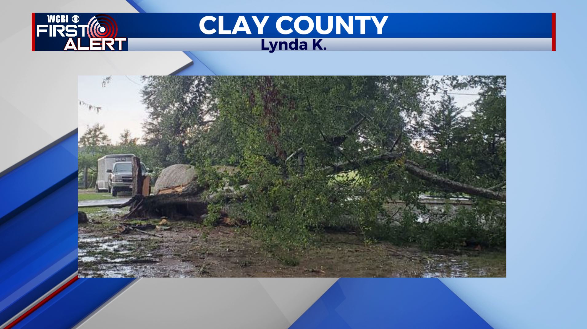
We had an intense round of severe thunderstorms which resulted in widespread trees down and power outages across the region. Thankfully, there were no reports of injuries and all of that severe weather has departed to the south. As of 8pm, there are still 506 customers without power, which is down from over 6,000 this afternoon. Check out the pictures below of damage from this afternoon’s severe storms.


TONIGHT: Partly cloudy becoming clear after midnight. Overnight lows in the upper-60s.
THURSDAY: Sunny and seasonably warm with highs in the mid-eighties.
THURSDAY NIGHT: Clear and seasonably cool with lows in the low-60s.

THIS WEEK: High pressure will keep the region rain-free and even provide a couple of sunny days to close out the week. A cold front moves into the area Sunday with an increased chance of showers and thunderstorms. We will go with a 40% chance for now, but that may be on the increase. Isolated thunderstorms will return again to start the week, but overall rain chances should stay under the 20% threshold. Have a great evening!