Near record temperatures along with rain chances
COLUMBUS, Mississippi (WCBI) – Unseasonably warm air continues along with almost a daily rain chance.
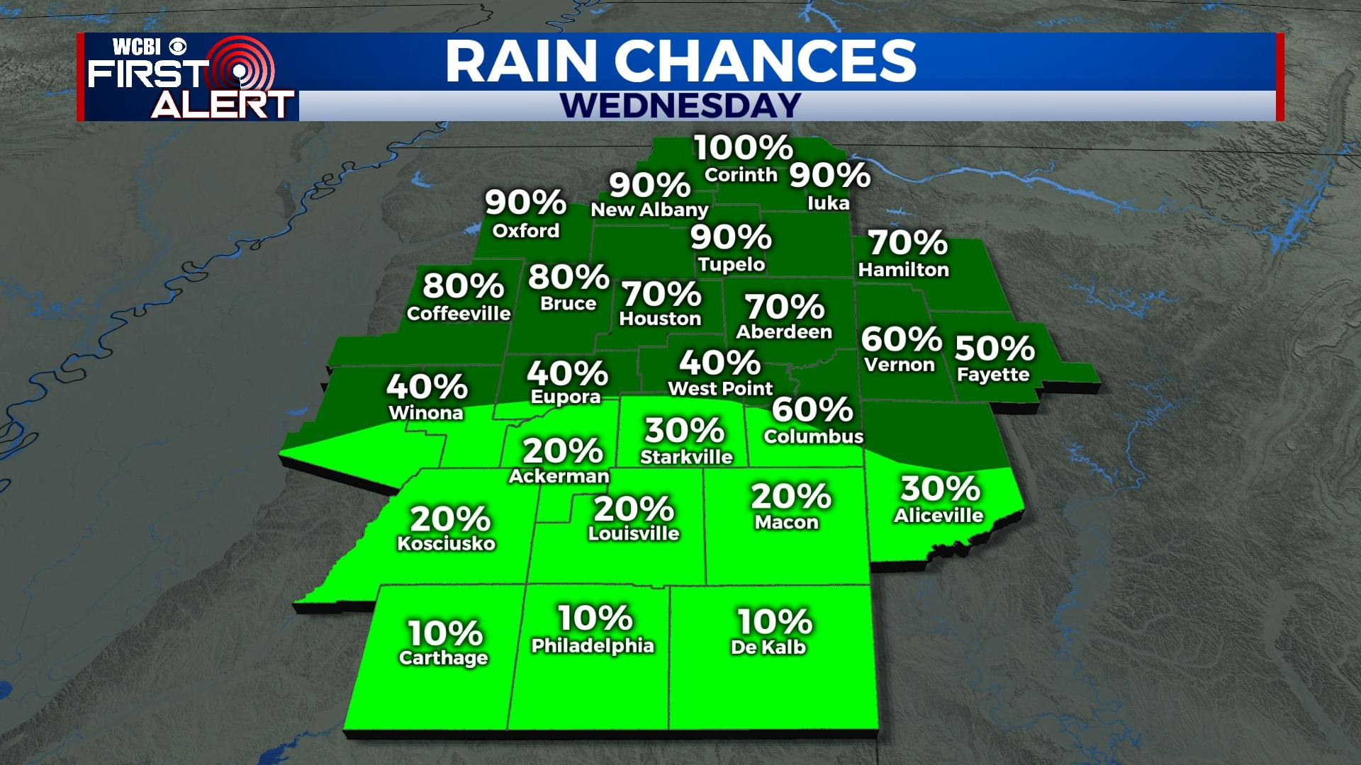
WEDNESDAY: Rain chances are back in the elevated category today, especially for areas north of Hwy 82. Here, up to 1 inch of rain or more could fall in the next 24 hours as temperatures hold near 70 degrees. Closer to Hwy 82 and south, rain chances drop and temperatures climb into the upper 70s!
THURSDAY: Mostly cloudy and much warmer for everyone as rain chances become more isolated. Highs will make a run at 80 degrees in some spots, continuing the unseasonable warmth! A front will arrive late and bring a better chance of overnight showers.
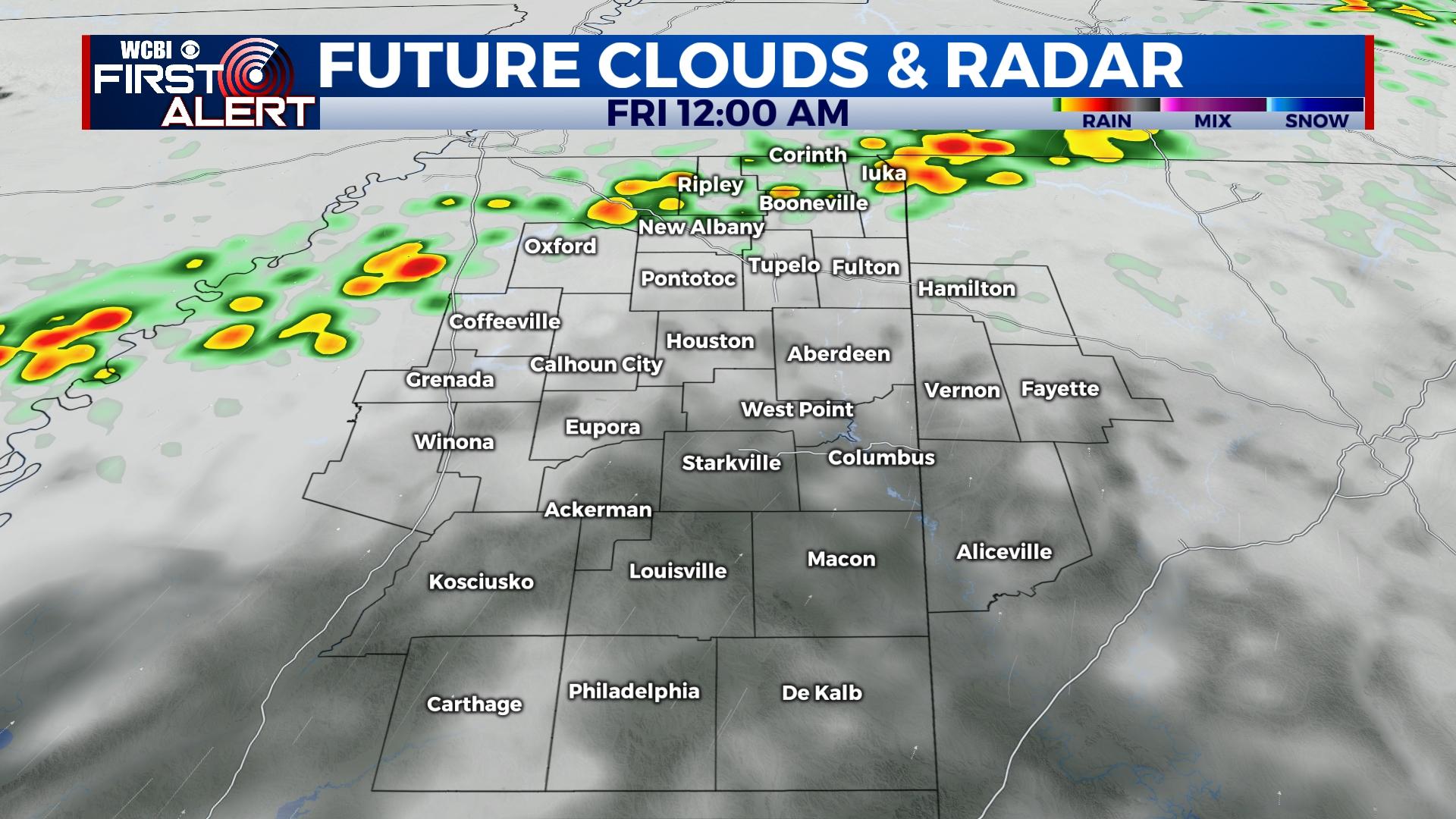
FRIDAY: Scattered showers are a good bet to start the day Friday, but the cold front will be “washing out” or losing its identity through the day. This means no major temperature change will occur during the day as highs stay in the 70s.
WEEKEND: There remains higher-than-usual uncertainty to the forecast and position of the aforementioned front. Regardless, on and off rain will be possible…but temperatures remain a challenge. How far south the front makes it before stalling will dictate how cool or warm the region will get. For now, we still expect a cooler weekend, but temperatures may stay in the mid to upper 60s.
NEXT WEEK: Isolated rain stays possible Monday as return flow begins ahead of the next system. A stronger front will arrive late Tuesday and bring another chance of storms to the region, and some of these storms could be severe. Stay tuned for updates!


