Nice end to the week, active next week
COLUMBUS, Mississippi (WCBI) – End of the week conditions are looking dry and sunny! Enjoy it while it’s here. Next week is a bit more active, with the return of the chance for rain showers and a few thunderstorms.
THURSDAY NIGHT: A clear sky tonight will allow for temperatures to fall into the upper 30s. Luckily, the fast winds from the day will start to calm overnight.
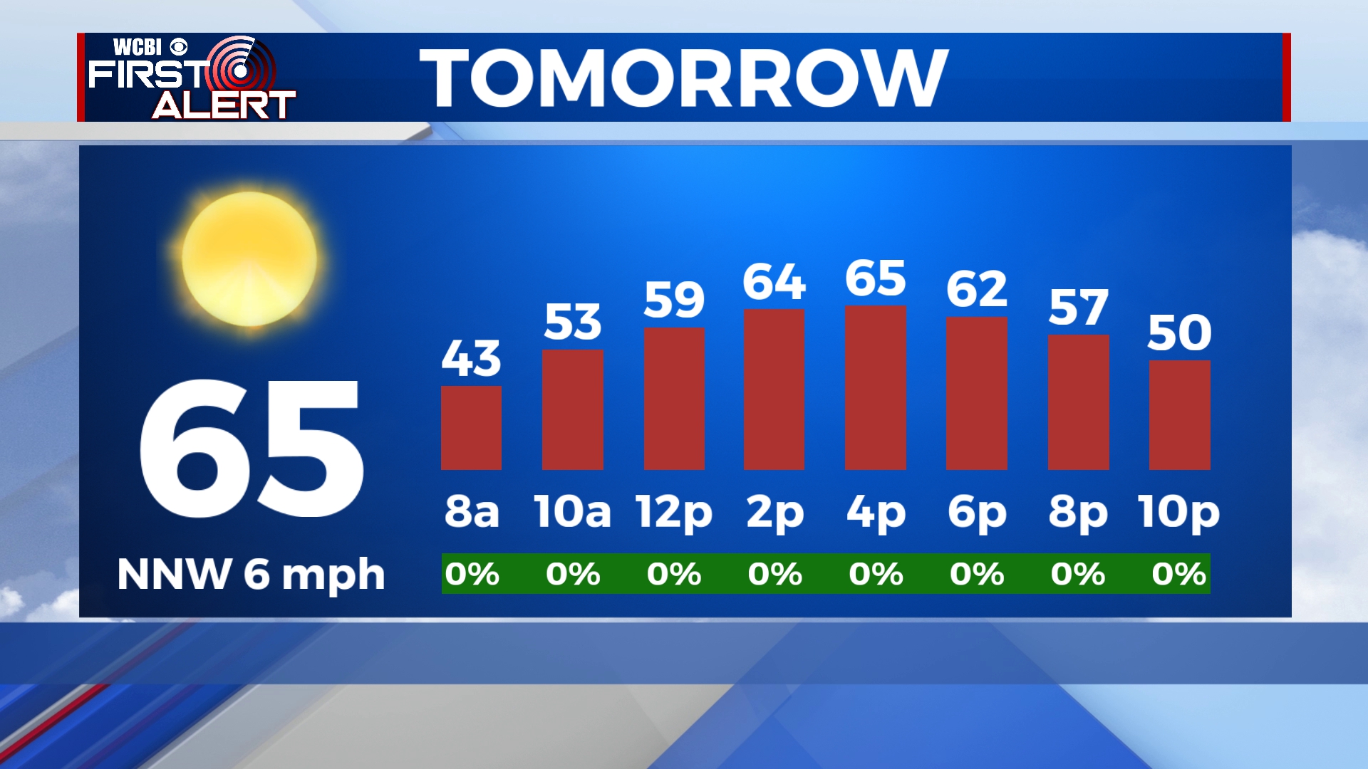
FRIDAY: Another (almost) copy and paste day! High temperatures continue in the 60s. Continuing to see plenty of sun! Clear sky maintains with the presence of a weak High pressure system. Another chilly night, as low temperatures fall into the lower 40s.
WEEKEND: Saturday stays pleasant, but clouds will be rolling in by afternoon and evening. Saturday highs will be in the upper 60s/lower 70s. Expect a mostly cloudy Sunday, with isolated to scattered showers and storms forming late in the day across west and northwest MS. A few of these could briefly grow strong at times, but we don’t anticipate major severe concerns at this point.
NEXT WEEK: Unsettled. A perturbed upper-air flow and plenty of moisture suggest repeated rounds of rain and embedded storms Monday – Wednesday. This isn’t great news for those viewing the eclipse Monday, but there’s still time for the forecast to change…stay tuned!


