Not as hot, early week rain chance
COLUMBUS, Mississippi (WCBI) – Last week’s heat is done for the time being as temperatures remain just below late August averages.
MONDAY: Variably cloudy sky conditions are on tap with occasional showers possible. The heaviest axis of rain and storms should set up just southeast of the WCBI coverage area, but a stray heavier shower or storm is also possible up this way. Highs should hold in the upper 80s for most.
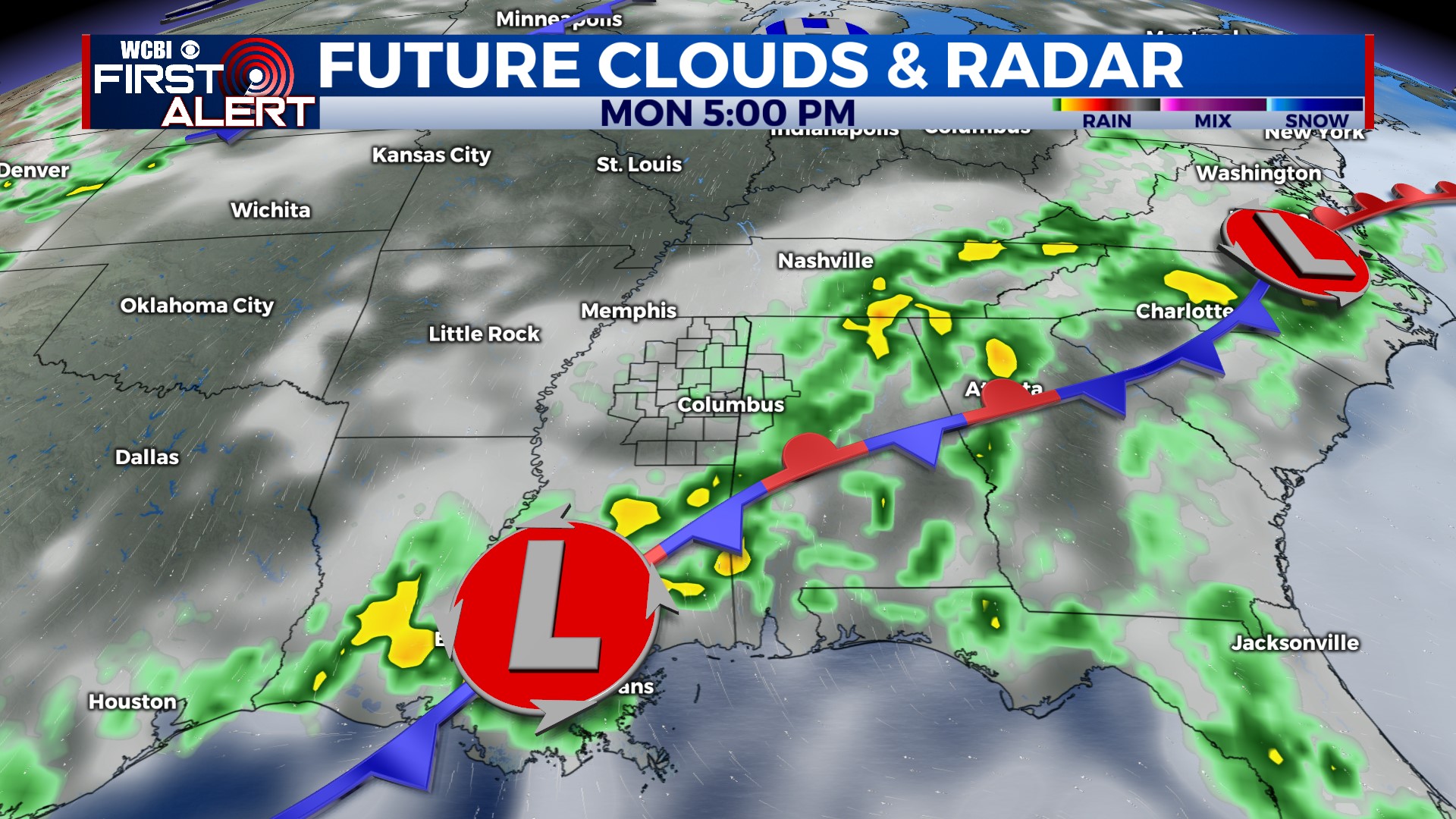
MONDAY NIGHT: Some of the heavier shower activity may drift slightly northward overnight, so we’ll leave a chance of a locally heavy shower or two in the forecast. Lows will range from the upper 60s to low 70s.
TUESDAY: The latest guidance suggests not as much rain, so just spotty showers are expected Tuesday afternoon. Highs will hover in the upper 80s.
REST OF WEEK: As Idalia tracks well east of Mississippi, substantially drier air will be pulled in on its west side. This will mean plenty of mid-week sun with pleasant mornings/nights! Highs will still top out near 90°, but lows will dip well down into the 60s Wednesday & Thursday mornings. Isolated showers could return by Friday afternoon.


