Pleasant weekend leads into stormy week ahead
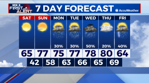
COLUMBUS – SUMMARY: Rain chances are up in the air heading into next week as our next severe risk Wednesday begins to shape out. In the meantime pleasant temperatures and plentiful sunshine make for a pleasant weekend outside as temperatures continue to return back to normal. Highs reach into the low 80s before a cold front Friday brings the AC back into play.
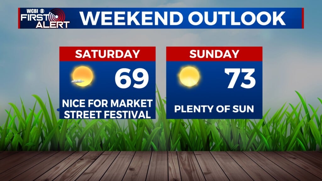
SATURDAY: Despite the chilly start in the mid 30s, outdoor conditions will rapidly improve as the day wears on. Lack of clouds along with decreased wind speeds means that it will feel comfortable outside, especially as highs increase into the upper 60s in the afternoon. Lows will also make an incremental improvement into the low 40s overnight.
SUNDAY: Yet another big leap occurs Sunday as the sun continues to warm the earth and as a result the air. Warm temperatures enter the fray as afternoon highs build into the upper 70s. Like Saturday, no significant cloud cover is expected, which will enhance daytime heating and also allow overnight temperatures to get a boost into the upper 50s. No rain is expected Sunday.
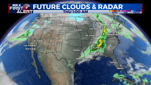
NEXT WEEK: The temperature trend holds steady in the upper 70s to low 80s throughout most of next week before the arrival of a cold front on Friday. More prominent however, are the extensive rain chances that run all the way through Friday. It is on Wednesday, smack dab in the middle, that next week’s severe risk really concentrates. At the moment, this threat maximizes in the delta portions of Mississippi and touching our far western counties. Given how far out from Wednesday’s event the forecast is it will be difficult to say for sure how the timing and magnitude of the event will pan out to be. Models so far have given a wide variety of times and severities, but these differences should minimize as we get closer to Wednesday. As always we will provide the latest on the severe storm threat as conditions evolve. Beyond Wednesday, rain chances are a little lower but are still existent. The next big rain maker after Wednesday will likely be with the cold front Friday, as it moves through and drops highs into the 60s.


