Rain and a Slight Cooldown
COLUMBUS, Mississippi (WCBI) — After days on end of blistering sunshine and miserably humid conditions, rain and a slight cooldown are on the way to make the back half of the week a bit more pleasant.
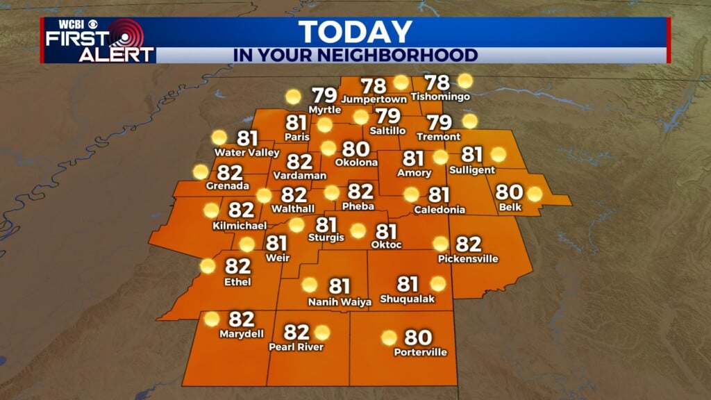
WEDNESDAY: While a heat advisory remains in effect for counties along and south of Highway 82, as well as along and west of Interstate 55, actual temperatures will not crack triple digits anywhere in our area today. The high temperature will be around 95°. There is a chance for scattered showers and thunderstorms all day today following a slow-moving weak cold front, but impacts will not be severe or widespread.

WEDNESDAY NIGHT: Clouds begin to clear in the evening hours, allowing temperatures to cool down to around average in the low- to mid-seventies.
THURSDAY: The cold front from Wednesday won’t be strong enough to significantly cool temperatures, keeping us in the low- to mid-nineties. But we will have some welcome relief from the intense humidity as dew points will be a good deal lower. Sunny skies prevail for most of the day, with a couple of scattered clouds.

NEXT WEEKEND: A higher chance for rain and thunderstorms is expected, especially on Saturday. This will help to bring our temperatures down a bit, possibly getting us a high below 90° for the first time since the first half of July.