Rain and storms Wednesday followed by more Arctic air
COLUMBUS, Mississippi (WCBI) – Temperatures climb the next few days as rain chances increase Wednesday evening. Much colder air returns Thursday.
TUESDAY: Absolutely stunning weather is in store today once the morning chill wears off. Expect lots of sun with high pressure today and highs in the upper 50s.
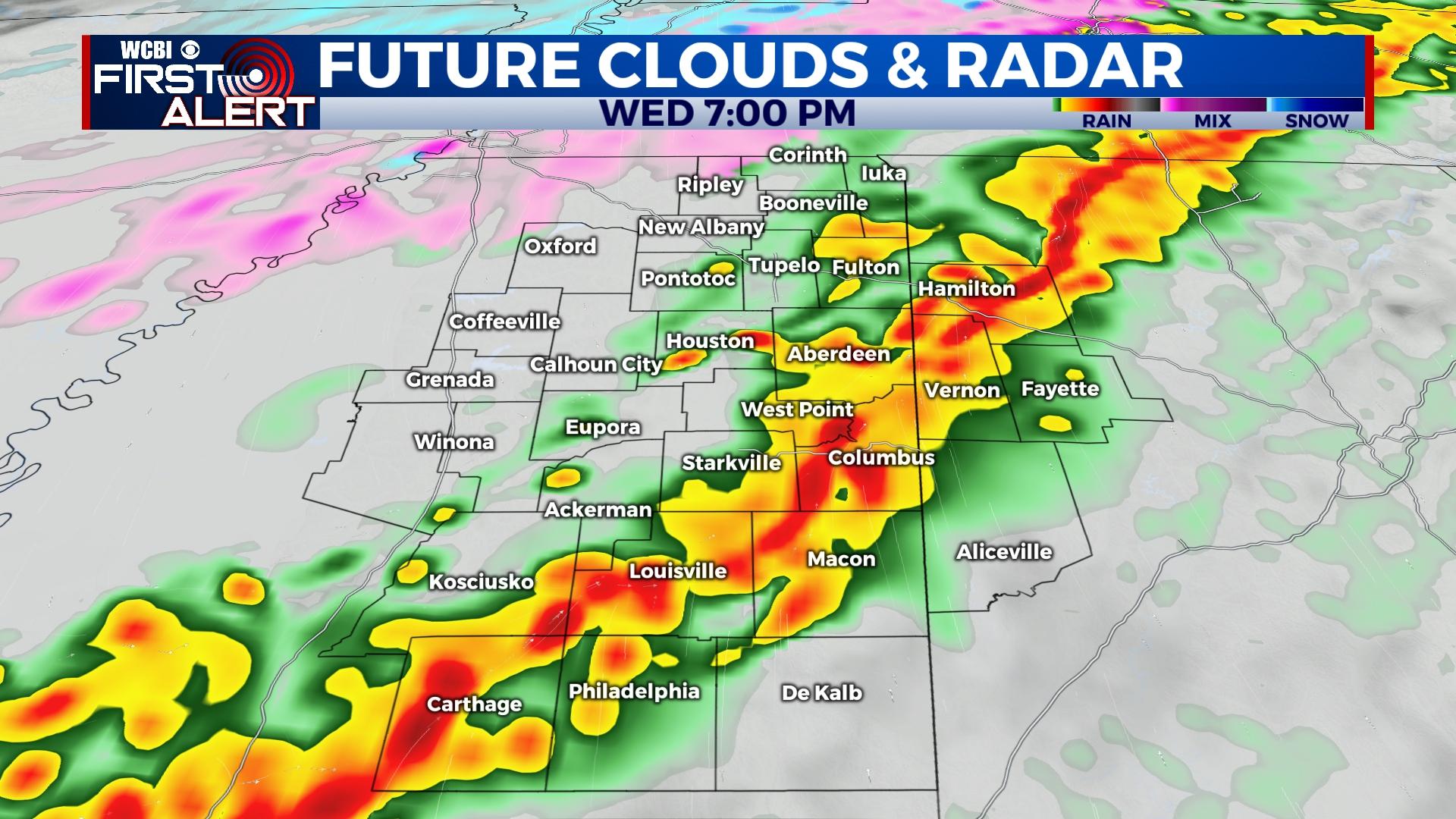
WEDNESDAY: The day starts dry and perhaps with a little sun, but clouds will quickly increase through the day. Highs will still reach the 60s, but expect a few showers to develop toward afternoon, Then, more widespread showers and storms will develop into the region Wednesday evening. While surface instability will be quite weak, elevated instability will remain; therefore, a few storms could produce hail. Some gusty winds are also possible, but the tornado threat is practically zero at this point.
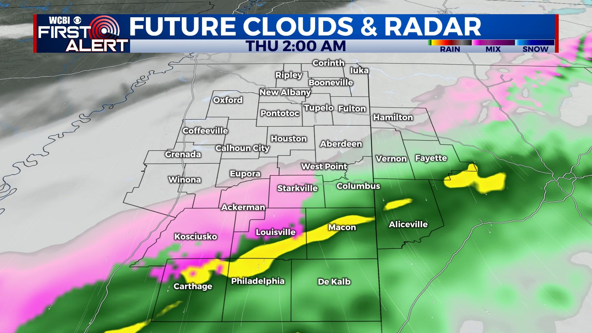
WEDNESDAY OVERNIGHT: Most of the rain and storms will end after midnight, but colder air rushing in could yield a brief window for freezing drizzle as the precip. shield departs. This may result in some icy glaze in a few spots toward daybreak Thursday, so be mindful of this! It will also be quite breezy with wind chills in the teens.
THURSDAY: Clouds will be slow to clear, and with strong northerly winds, temperatures won’t get out of the 30s all day with sub-freezing wind chills.
FRIDAY: Clouds hang tough as yet another disturbance moves through the Southeast. We’ll be on the drier north/northwest side, but a few sprinkles or flurries aren’t out of the question. Temperatures will likely stay in the upper 30s.
WEEKEND: Forecast confidence remains low on the overall evolution of the weather pattern. Trends have been for the next system to be shunted east toward the Carolinas, but it’s still possible those trends could reverse in the next 36-48 hours. For now, the forecast calls for chilly and dry weather both days…but stay tuned to any changes for Saturday’s forecast.


Leave a Reply