Rain chances increase as unsettled pattern develops
COLUMBUS, Mississippi (WCBI) – After a couple dry days, rain is back in the forecast for the next several days. Heat stress may eventually become more of a concern Friday & the weekend.
WEDNESDAY: Clouds are set to increase ahead of a disturbance in southern Arkansas. This is likely to cause a focused area of showers and embedded storms to form across the Delta and move into parts of central/eastern MS by early afternoon. While it won’t affect everyone, varying temperatures are expected in the afternoon as a result. Some may be in the 70s while others may sit in the lower 90s.
WEDNESDAY NIGHT: Isolated showers stay possible after midnight as clouds linger. Lows will drop into the 70s.
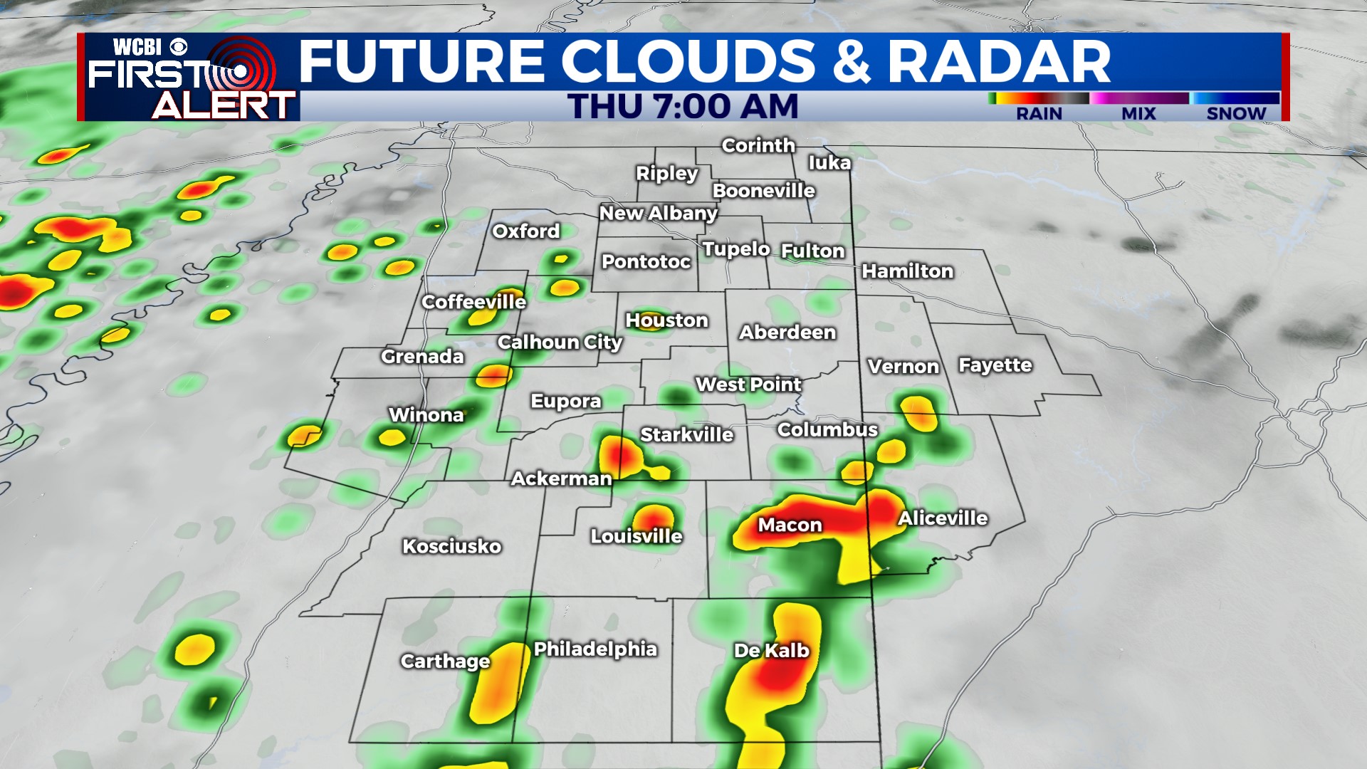
THURSDAY: Lingering effects from Wednesday’s disturbance along with a slightly more active upper-air flow may allow for additional scattered rain/storm development through the day. Rain doesn’t look to stay constant, but periodic showers and a few storms are possible. Once again, varying temps may be the rule – an average in the upper 80s is expected.
FRIDAY: Back to a more “traditional” summer forecast. Mostly clear in the morning with scattered storms in the afternoon. Highs should push back into the 90s with the heat index approaching 105°.
WEEKEND: Isolated to scattered afternoon storms stay possible both days. Highs will stay in the lower 90s and heat index values near or above 105°.


