Rain chances on the increase
SUMMARY: Remaining at heat advisory levels for one more day. The weekend looks cooler with higher chances of afternoon showers and storms, as highs drop to right around the 90 degree mark. Rain chances stay elevated as we start next week, with highs in the mid to upper 80s. Rainfall could be enhanced on Monday and Tuesday by moisture from Tropical storm Fred, but it looks like we will be on the drier side of the system at this time so impacts should be minimal. THURSDAY NIGHT: Any isolated storms around the area should quickly dissipate when the sun sets. Partly cloudy skies, with lows in the low to mid 70s. Dense fog possible late in areas that saw rain. FRIDAY: Slightly cooler on Friday, with highs in the low to mid 90s across the area. Feels like temps will still be oppressive, in the 105-110 range in the afternoon. Scattered showers and storms are also possible in the afternoon. 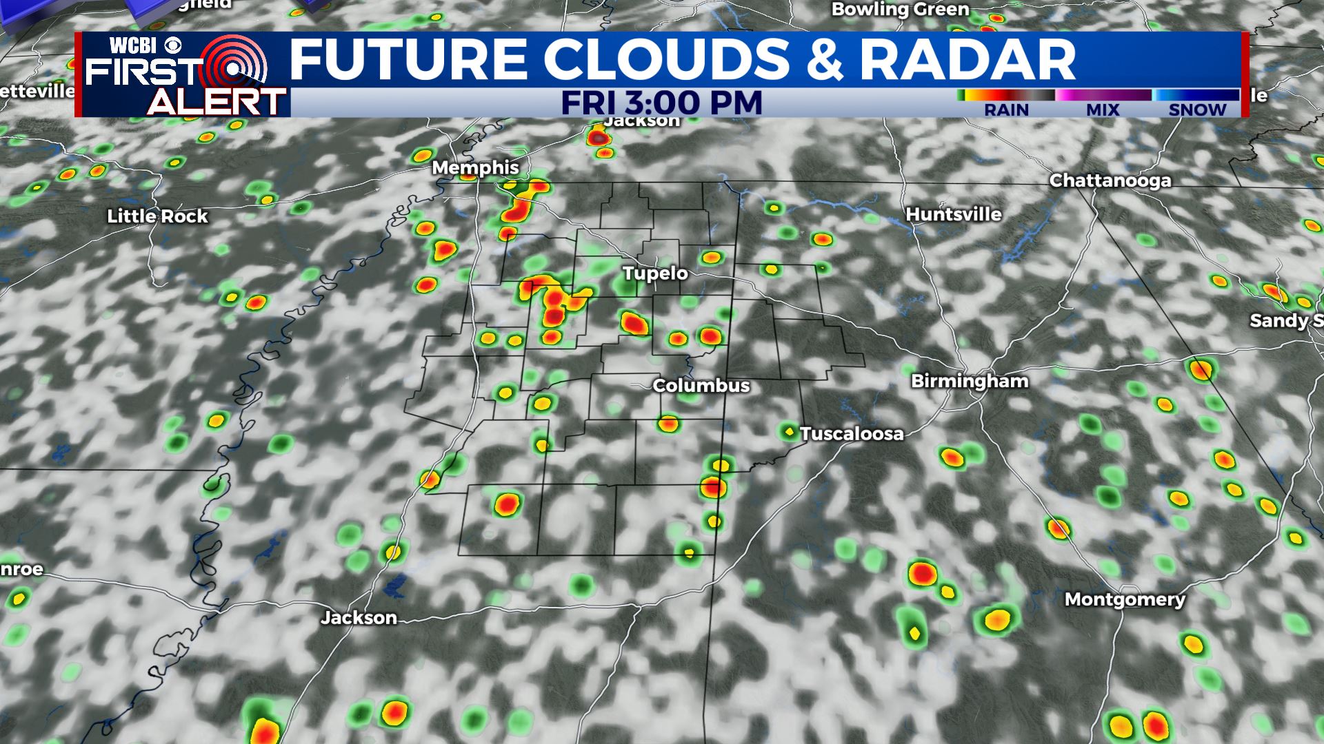 FRIDAY NIGHT: Any storms across the area dissipate after sunset. Partly to mostly cloudy skies expected with lows in the low 70s. SATURDAY: Rain chances increase for Saturday, with scattered to numerous afternoon showers and storms. More rain and cloud cover in the area means slightly cooler temps; highs will be around 90 to the low 90s. SUNDAY TO THURSDAY: Rain chances increase a bit more for Sunday, more of us should see rain than not. Cooler, with highs in the upper 80s to near 90. Tropical storm Fred is likely to make landfall in the Florida Panhandle on Sunday night or Monday, and could help boost rainfall on Monday and into Tuesday as tropical moisture spreads into the region. As it will past to our east, we will be on the weaker side of the system, so impacts will be limited across the area. Highs Monday and Tuesday look below average, in the mid to upper 80s. Showers and storms will be widespread both days. Temperatures then slowly rise as the week goes on, back to near 90 by Thursday with typical afternoon showers and storms. The tropics look to stay active, so we’ll be watching for any additional threats down the road.
 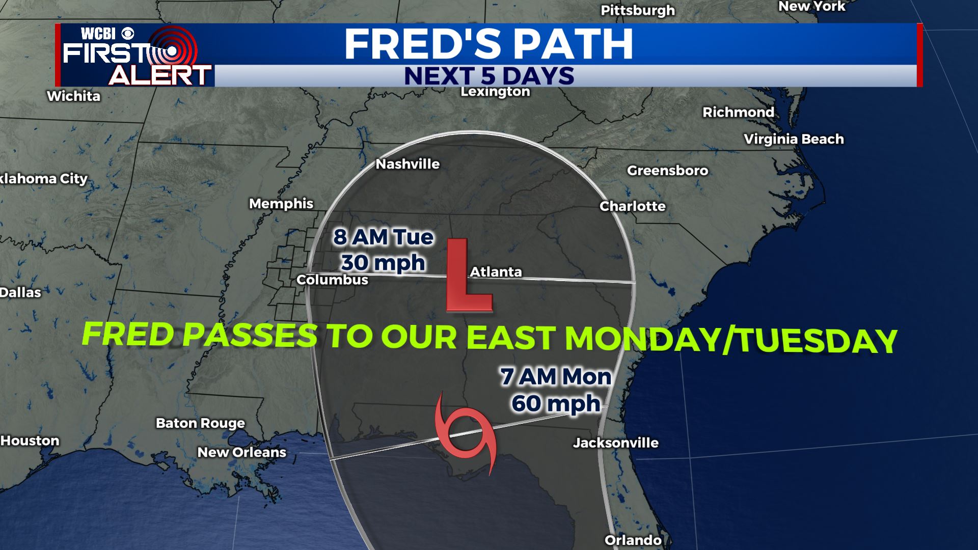 Stay connected with @WCBIWEATHER on Facebook, Twitter, Instagram and the WCBI News App


Leave a Reply