Rain chances the next few days followed by a dry weekend ahead
A few isolated showers and thunderstorms have impacted southern portions of the region today. Isolated rain chances remain in the forecast through tomorrow evening before drier air returns this weekend.
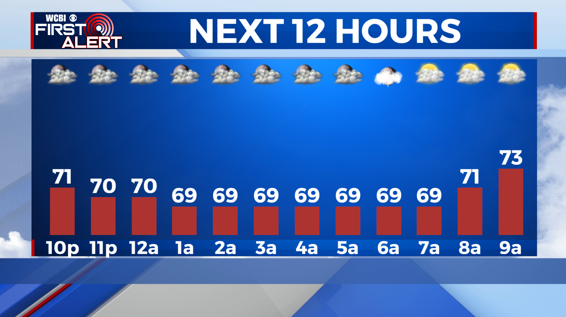
TONIGHT: Mostly cloudy with low temperatures in the low-60s. A stray shower is possible early.
WEDNESDAY: Mostly cloudy and warm with high temperatures in the mid-80s. Afternoon and evening isolated showers will be possible. Chance of rain: 30%.
WEDNESDAY NIGHT: Mostly cloudy and calm with low temperatures in the mid-60s. An isolated shower ending early.
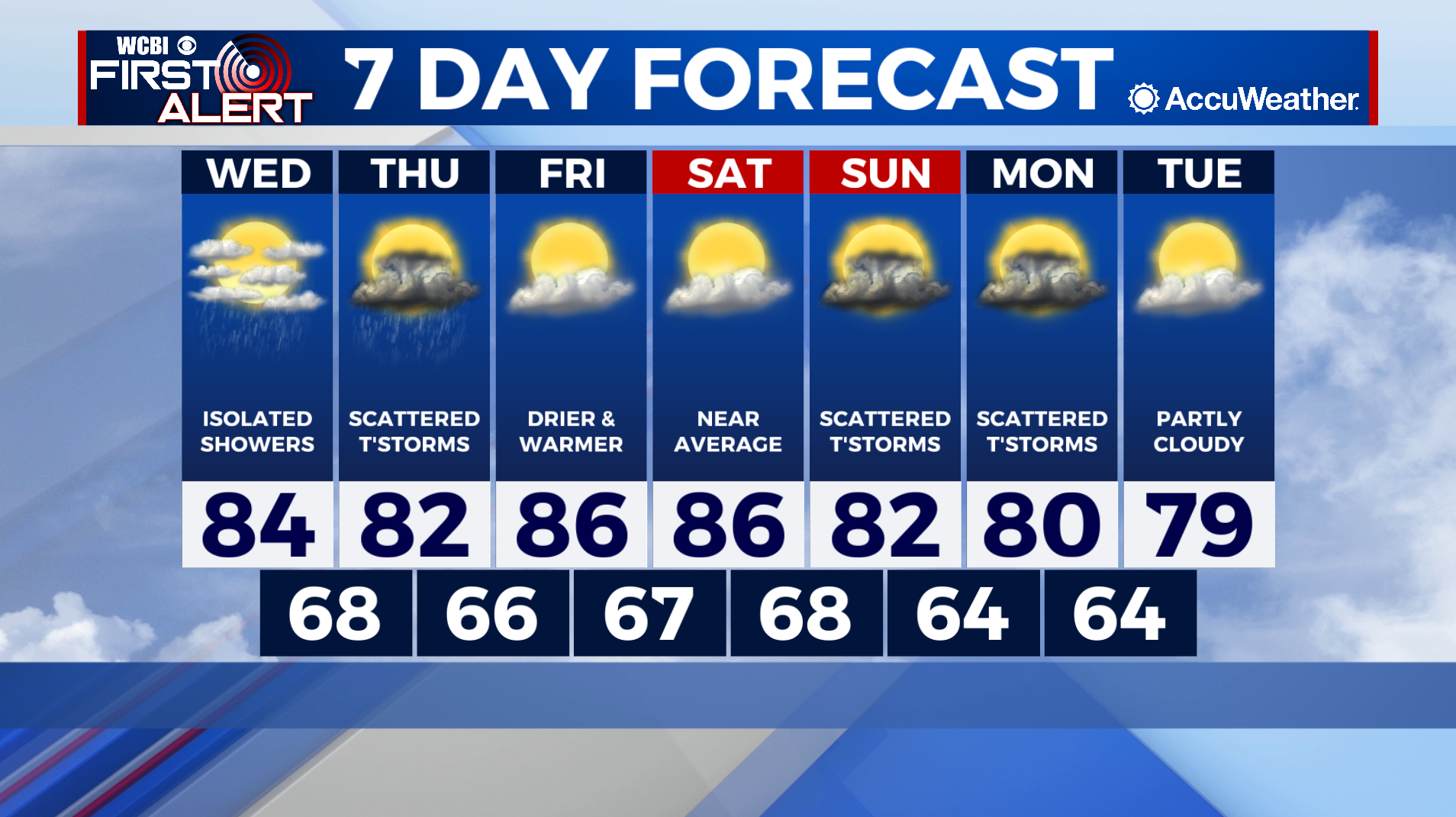
THIS WEEK: Isolated showers will be possible tomorrow and Thursday, before high pressure returns to the area this weekend. It’ll be warm and dry this weekend thanks to an area of high pressure overhead. Temperatures will top out in the mid-to-upper-80s Saturday and Sunday. A trough will be arriving to the lower Mississippi valley sometime Sunday night through Tuesday afternoon. The timing remains in question at this point, but the approaching trough will provide additional life for scattered showers and thunderstorms at some point to start next week. Behind the trough, dry and more seasonable air will push into the area with highs in the upper-70s and low-80s.