Rain gear required for a few more days
COLUMBUS, Mississippi (WCBI)- Rain chances are going to continue through the weekend and further into the next week. Temperatures are looking to cool off some after a few days of record breaking temperatures.
FRIDAY NIGHT: Mostly cloudy to overcast cloud coverage will continue throughout the night and into the weekend. Overnight low temperatures tonight are falling into the middle 50s.
SATURDAY: High temperatures will be in the middle 60s to lower 70s. More rain is in the forecast. There is a lighter rain chance during the morning, around 20%. During the afternoon and evening, rain chance jumps to 60% for showers. Low temperatures will be in the upper 50s, with the heavier cloud coverage sticking around.
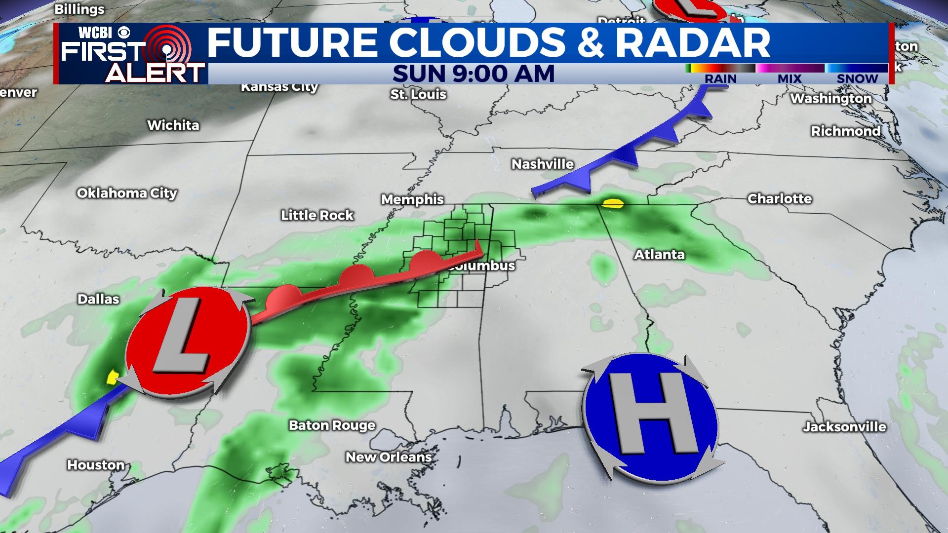
SUNDAY: Low to middle 60s are expected for the high temperature. The rain chance continues at 60% through Sunday and drying out some by the evening. Low temperature drops into the lower 50s.
NEXT WEEK: Temperatures are expected to stay in the middle to upper 60s Monday through Wednesday. Sky conditions on Monday will still be cloudy, but the chance for rain dries out. However, it will not stay dry long. Tuesday brings the chance for more rain. A double front event is forecast to occur between Tuesday and Wednesday. Along with this system passing, there is also potential for a severe weather event. The WCBI weather team is continuing to watch this system closely. After Wednesday, rain chances drop, the sky will clear out some, and temperatures will drop.


