Rain likely Sunday, much colder next week
Rain will return to the area for much of Sunday, making for quite a gloomy day. We’ll be dry to start off the week, but temperatures will be much colder.
SATURDAY NIGHT: Mostly cloudy and cool. Temperatures will remain in the 40s with a light northeasterly wind.
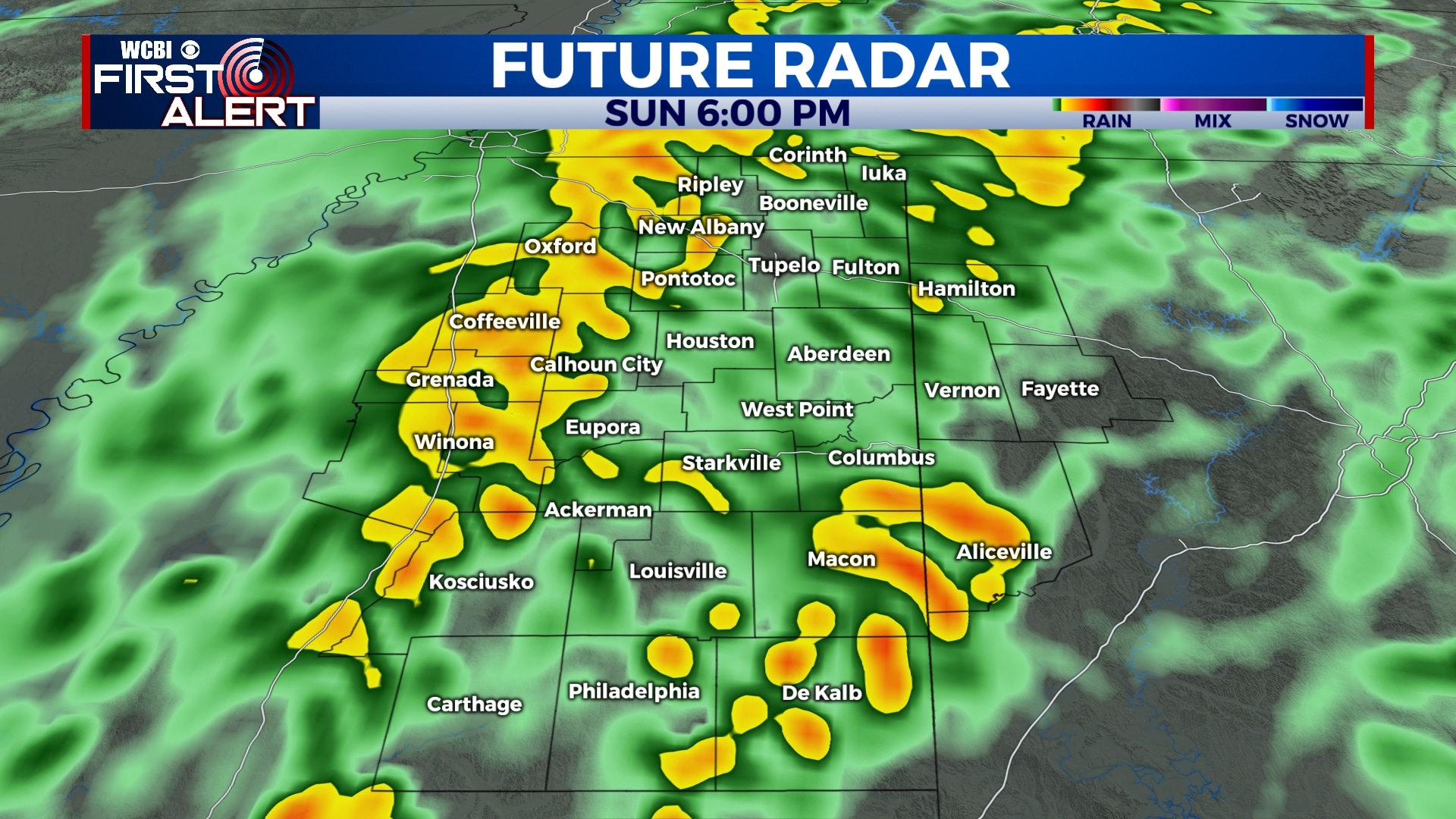
SUNDAY: Rain is likely to begin by 8 am or 9 am and last well into the evening. Rain could be heavy at times with a little thunder, but we’re not expecting any major severe weather. Rainfall amounts will be near an inch in most areas. Temperatures will be in the 50s through the day making for a chilly rain. Winds will be from the east in the morning, switching to the northeast and north by the evening.
MONDAY: Clouds will linger through the day on Monday as much cooler air moves in. Morning lows will be in the upper 30s with highs only in the mid 40s. Winds will be breezy, gusting to near 20 mph out of the north. An isolated shower or even flurry is possible, but there will be no travel concerns or major precipitation.
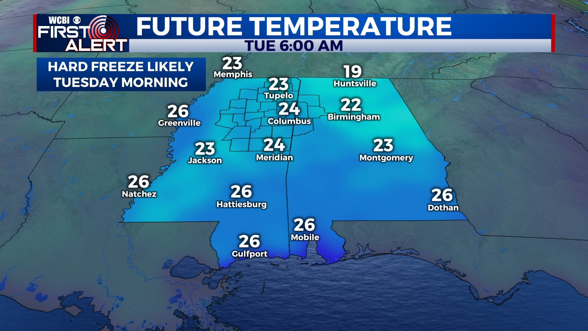
TUESDAY: A hard freeze is likely Tuesday morning with lows in the low to mid 20s. Afternoon highs will be in the mid 40s under a mostly sunny sky.
WEDNESDAY-SATURDAY: Clouds will build back into the area for the second half of the week with some showers possible late Wednesday night into Thursday. An isolated shower or two is possible on Friday and Saturday, but most of the rain will be gone after Thursday. Highs will be in the 40s and 50s with lows in the 30s and 40s.
Follow WCBI Weather on Facebook, Twitter, and Instagram
Follow Meteorologist Trevor Birchett on Facebook and Twitter


Leave a Reply