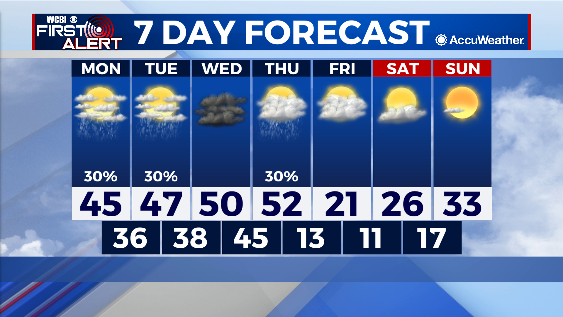
Rain prevails early in week before winter blast
COLUMBUS – SUMMARY: A few chances for showers early next week bring a gloomy start. A heavy-weight cold front Friday knocks highs from the 50s into the low 20s and lows from the 40s into the teens.
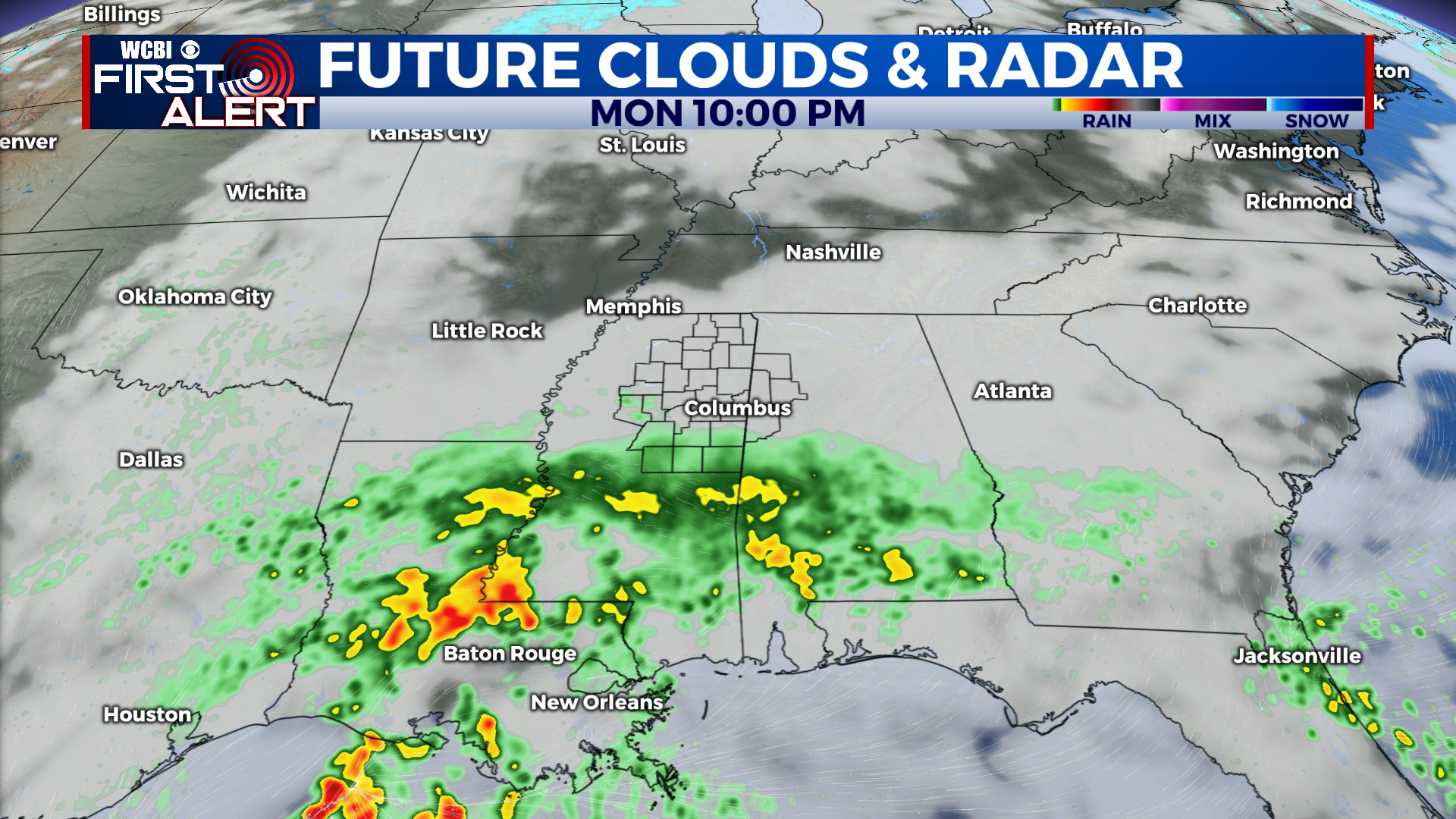
MONDAY: Afternoon temperatures hit the mid 40s, as cloudy conditions and intermittent showers prevail. Most rain should occur during the afternoon and nighttime hours Monday. Lows hit the mid to upper 30s overnight.
TUESDAY: Rain from Monday will carry over into Tuesday, lasting through the morning hours into the evening hours before clearing out. Highs hit the upper 40s while lows sit in the upper 30s.
NEXT WEEK: The highest temperature of the week will be found midweek in the low 50s. A cold front late Thursday into Friday will drop highs dramatically from the low 50s mark into the low 20s. Lows likewise will take a hit from the mid 40s into the low 10s. Stronger winds during this time between 20 and 30mph will add to the wind chill and result in outdoor temperatures feeling even colder. Temperatures will slowly start to rebound following Friday, with highs increasing into the low 30s by Sunday.