Rain returns tonight and will stick around a few days
COLUMBUS, Mississippi (WCBI) – SUMMARY: Heavy showers with a few embedded thunderstorms will continue to move east across the region this evening and overnight. Scattered showers will also be possible tomorrow and Friday, before we finally dry out this weekend.
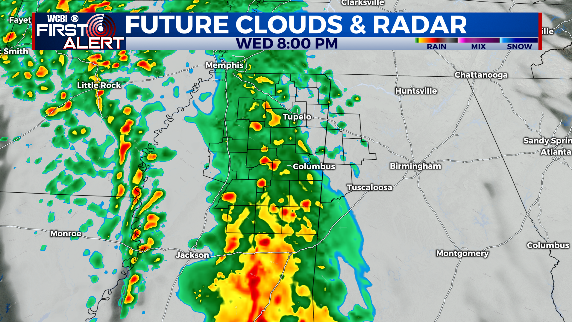
TONIGHT: Occasional showers with a few embedded thunderstorms. Overnight lows in the upper-50s. Variable wind, 10-20 mph.
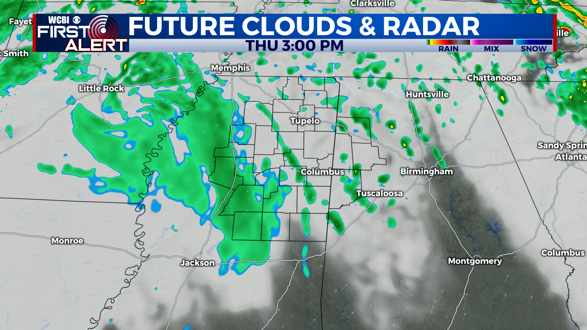
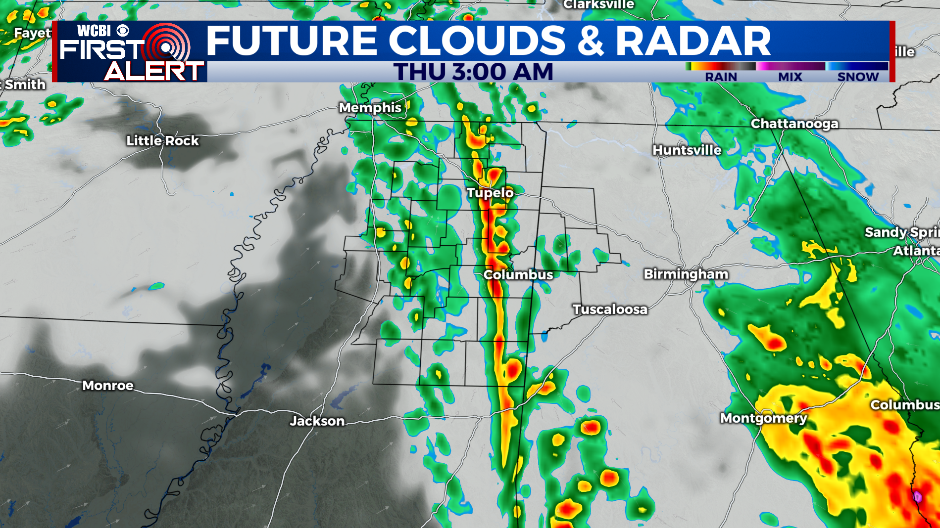
THURSDAY: Mostly cloudy with scattered showers and thunderstorms after 6pm. Afternoon highs in the mid-to-upper 70s. Southeast wind 5-10 mph. Chance of rain: 60%.
THURSDAY NIGHT: Occasional showers and thunderstorms. Lows in the low-50s. South wind 10-20 mph. Chance of rain: 100%.
THIS WEEKEND: As the upper level low finally lifts to the northeast, we will begin to clear out by Saturday morning. Temperatures will still only reach the low-60s Saturday afternoon, but we will warm to the low-70s Sunday for Halloween.
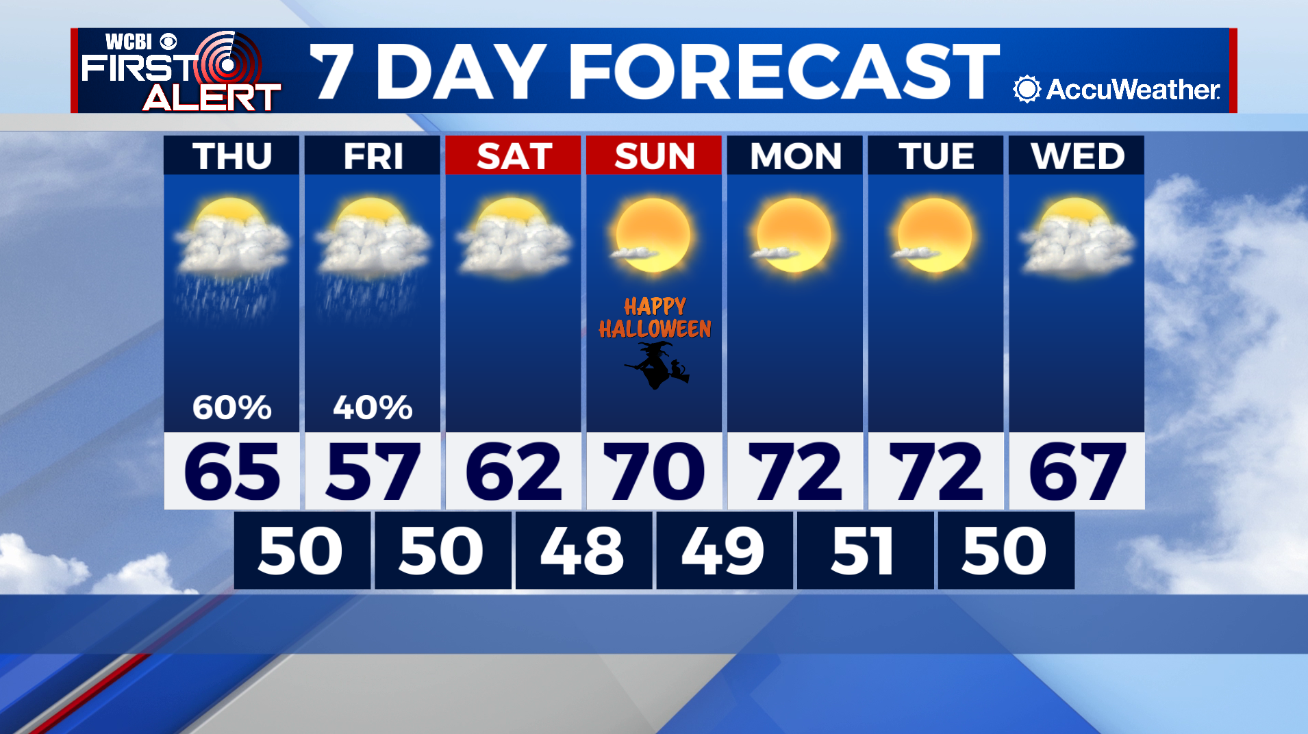
FOOTBALL WEATHER: High school games Friday night will be cold and overcast, with a stray shower possible. Expect temperatures in the mid-50s at kickoff before cooling to the low-50s for the drive home.
TROPICS: Tropical storm formation is possible in the North Atlantic through the next five days (30% chance of development). Elsewhere across the Atlantic and Gulf of Mexico, all is quiet and tropical storm formation is not expected through this weekend.