Record temperatures for Thursday, rain again Friday
COLUMBUS, Mississippi (WCBI) – Record early December heat is likely today, and above average temperatures continue for the next seven days.
THURSDAY: After morning fog dissipates, expect a mostly cloudy sky to become partly sunny by afternoon. This will lead to highs reaching the upper 70s to lower 80s. Tupelo’s record for the day is 76°, and it will likely break that record this afternoon.
FRIDAY: As yet another front swings through, an increase in showers is expected…primarily for the first half of the day. Less rain is expected by afternoon, and highs should stay in the 70s.
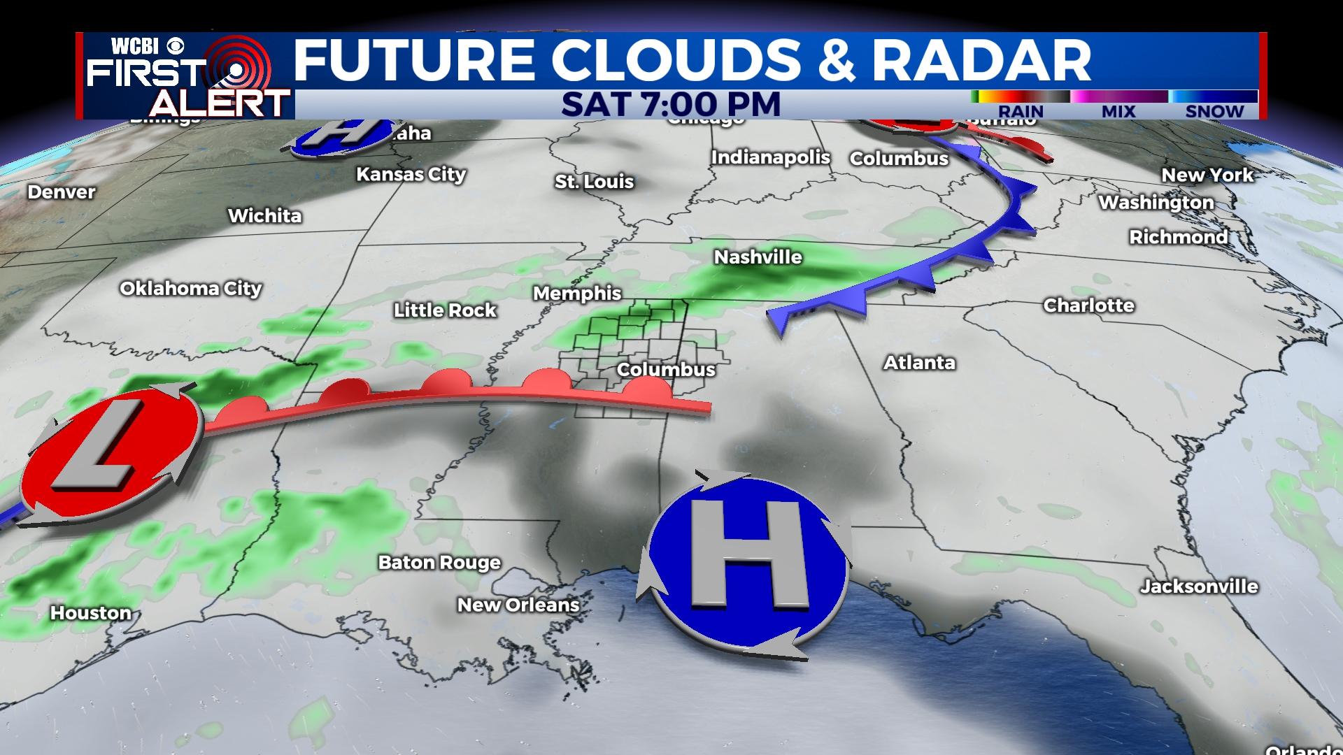
WEEKEND: Saturday looks to stay warm in the 70s with late-day showers possible. Sunday is beginning to trend drier and slightly cooler as highs drop into the 60s.
NEXT WEEK: Monday starts the week mostly cloudy, mild, and breezy with spotty showers. Highs will stay in the 60s as southeasterly breezes develop. Those breezes strengthen Tuesday, becoming gusty at times (over 25 mph) with rain and storms becoming more likely in the evening hours west of I-55. As the parent system looks to have slowed down, Wednesday brings an increased threat for strong to severe storms across the region. Stay tuned for further changes to the timeline of this threat!


