Saturday Sunshine, More Storms Monday Night
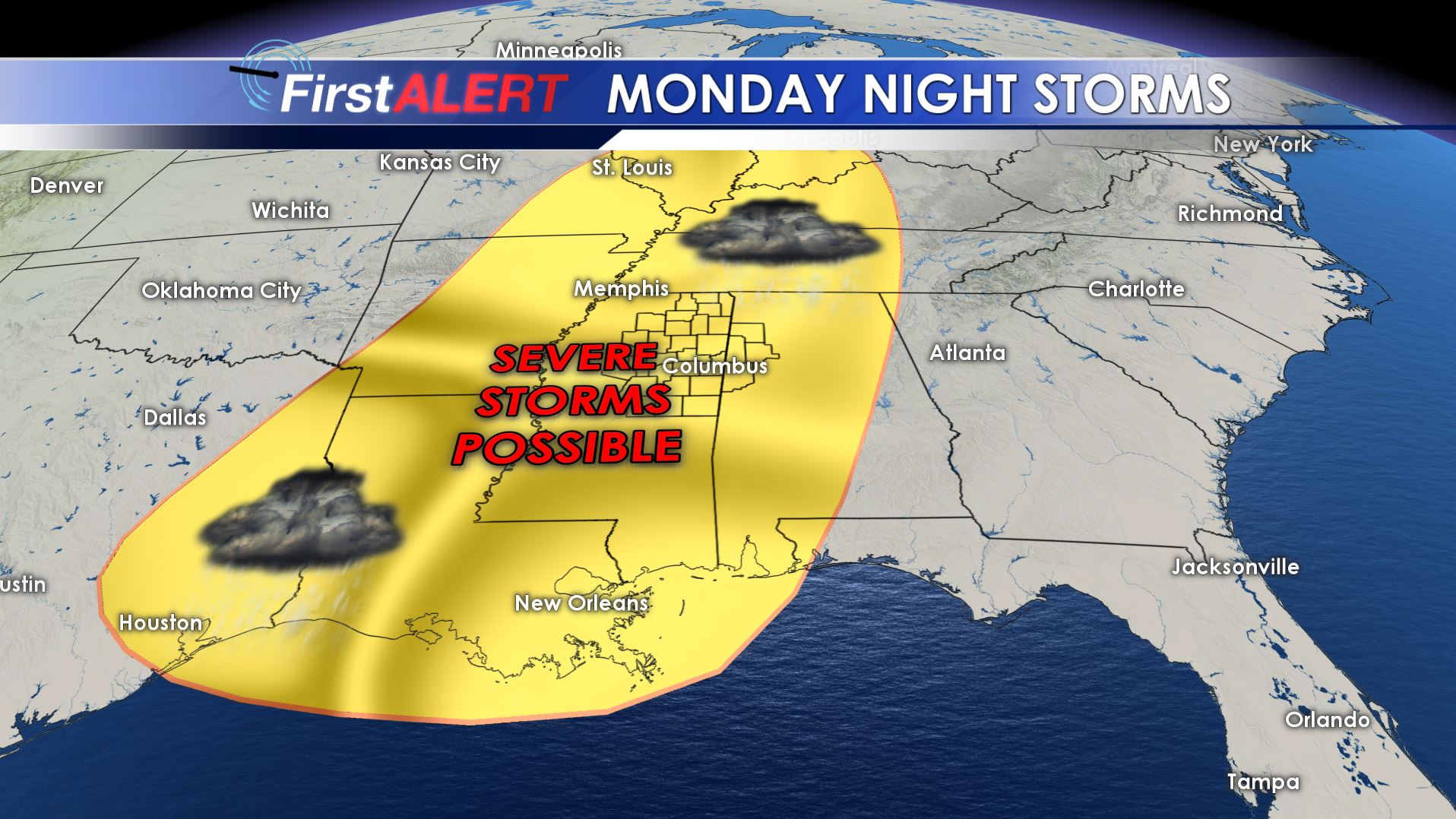
Monday Night Storms
FRIDAY NIGHT: A few evening showers are possible, mainly across our northern counties. Most high school football games probably won’t be affected but have some rain gear just to be safe if you live farther north. Temperatures will cool into the 50s and 40s with during the evening with overnight lows around 40. Clouds are going to gradually thin out during the night.
SATURDAY: Plan on a mostly sunny and seasonable day with highs in the mid to upper 60s. Some spots may see 70. Southeasterly breezes develop between 5 and 10 mph. Things look great for the Ole Miss game in Oxford and the MSU game in Starkville.
SUNDAY: A weak front will push into the area and it may deliver some showers and storms to parts of the region. We’re going to continue a 40% chance of rain. Highs stay mainly in the mid to upper 60s.
MONDAY: Warmer and more humid air should surge back into the region as southerly winds develop. We expect highs well into the 70s. The chance of any rain during the daylight hours is low.
MONDAY NIGHT/TUESDAY MORNING: There is the potential for another round of strong to severe storms in the region. It’s a bit too early to tell the exact timing but all modes of severe weather may be on the table if storms do indeed develop. We’ll be sure to keep you updated on the threat(s) during the weekend.
TUESDAY: Most of our Election Day should be OK, assuming early morning storms can exit to the east. A partly cloudy day may unfold with mild highs in the 70s.
Follow @WCBIWEATHER on Facebook, Twitter, Instagram, and Snapchat


Leave a Reply