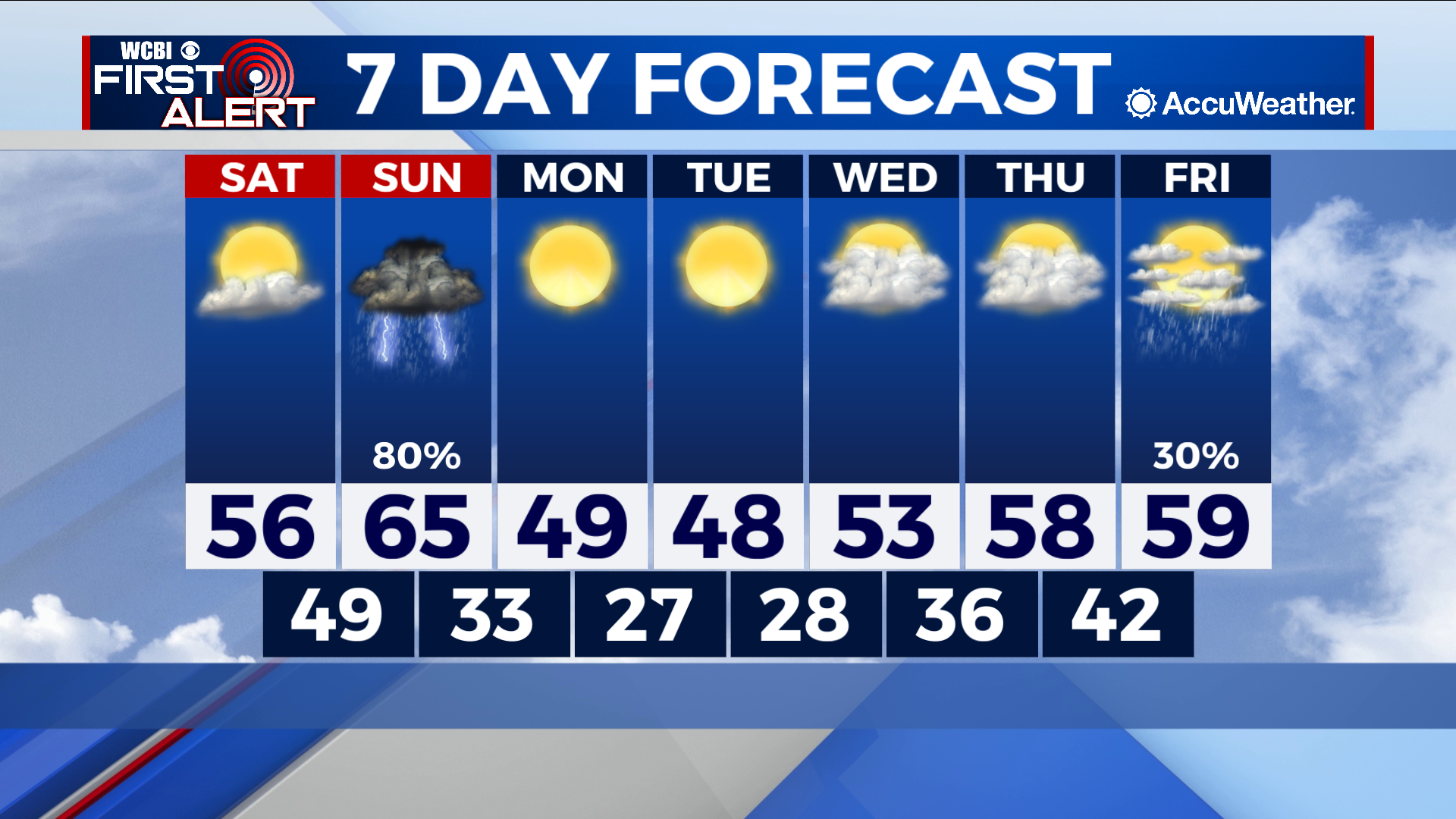
Saturday will remain dry ahead of rain and storms on Sunday
COLUMBUS, Mississippi (WCBI) – SUMMARY: Cold weather continues tonight, but we begin a brief warming trend through Sunday ahead of our next cold front Sunday night.
TONIGHT: Mostly clear and cold with lows in the mid-20s. Northeast wind around 5 mph.
SATURDAY: Sunny and warmer with highs in the mid-to-upper 50s. Southeast wind 5-10 mph.
SATURDAY NIGHT: A few isolated showers before 3am, then occasional showers and thunderstorms likely overnight. Lows in the upper-40s. South wind around 5 mph. Chance of rain: 60%.
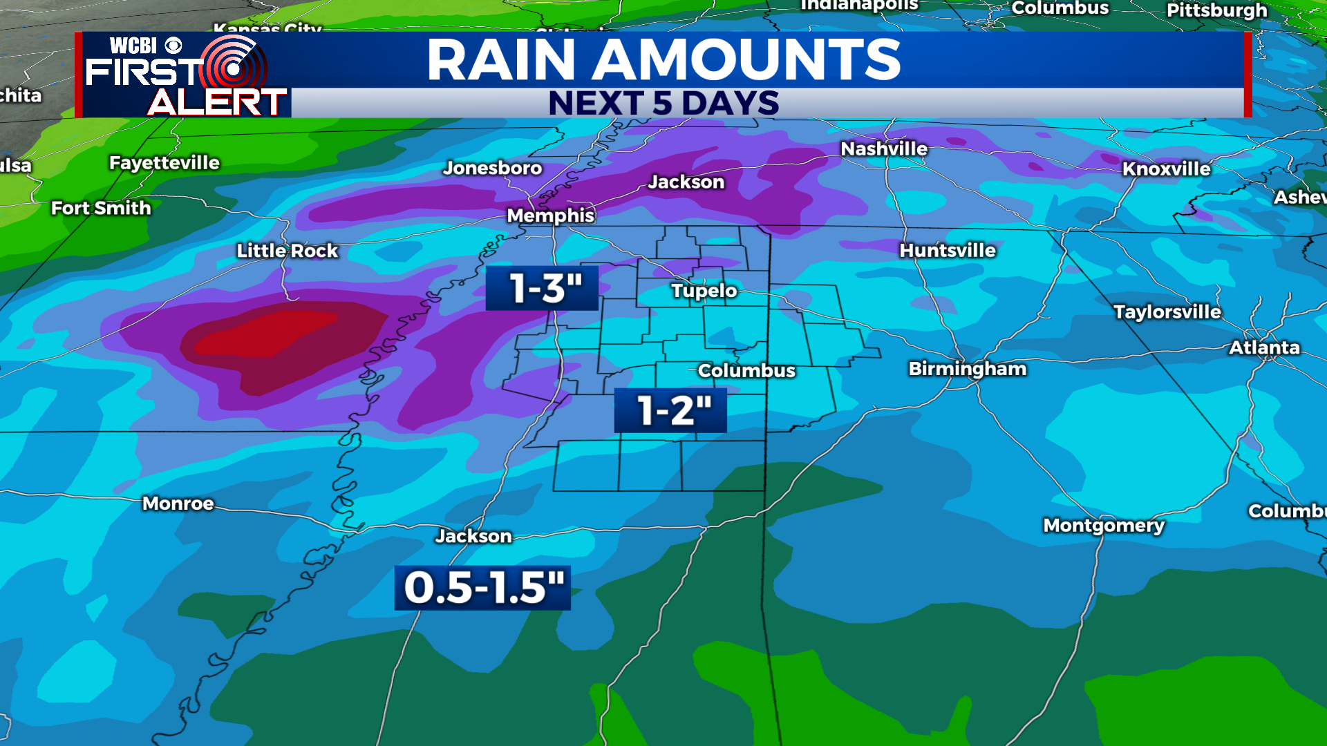
EXTENDED FORECAST: Showers and thunderstorms are likely Sunday. Some storms may be strong with gusty winds and could produce heavy rainfall. With widespread 1-3” rainfall totals expected, flooding of low-lying areas may also be an issue for a few locations. This system will exit the region Sunday afternoon, and colder air will begin to push into the state. Monday’s highs are in the 40s, then we begin a gradual warming trend next week.