Scattered PM storms Thursday and Friday
COLUMBUS, Mississippi (WCBI) – Isolated to scattered storms remain in the forecast Thursday and Friday. Beyond that, some welcomed humidity relief is set to move in this weekend.
THURSDAY: Hazy sun and more dangerous heat and humidity with highs in the mid/upper 90s. Heat indices will exceed 105 degrees yet again, and a heat advisory remains in place for the entire region. Scattered showers and storms are possible again today, and consider yourself lucky if you get a cooling downpour! Humidity levels will remain very high, however.

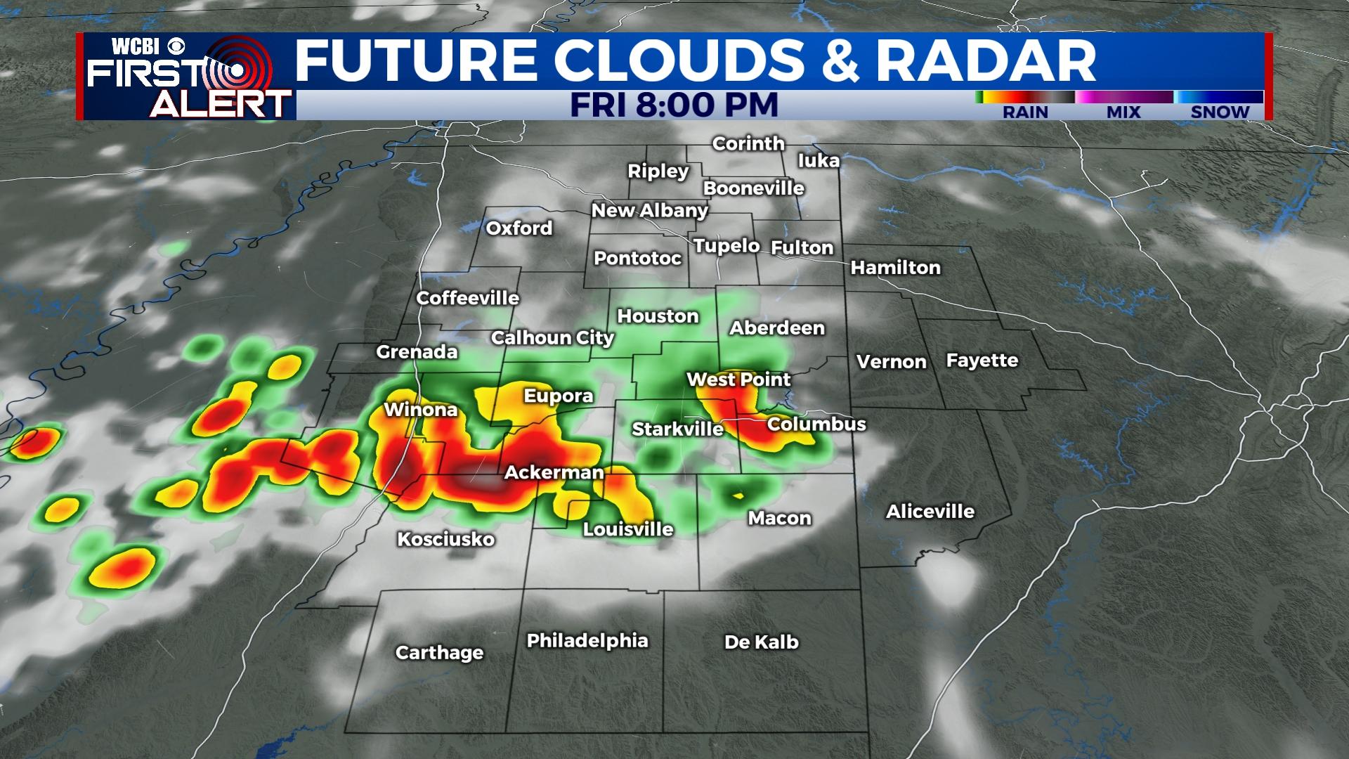
FRIDAY: A much anticipated front will be lurking just north of the region. This will act to generate isolated showers and perhaps a storm as it moves in, but the main story will continue to be heat danger. Highs will top out in the upper 90s w/heat indices approaching 110 degrees.
WEEKEND: Said front is set to pass through Saturday and bring in significantly drier air. This should help to drop temperatures down to near 60 degrees by Sunday morning. Sunday will be sunny and hot, BUT without heat index problems!
NEXT WEEK: Summer officially begins Tuesday, and we’ll be right back in the thick of it. Highs return to the upper 90s by mid-week with little rain in sight.


