Several chances for rain
COLUMBUS, Mississippi (WCBI)- While the first couple days of the week are going to be warm and slightly muggy, the rest of the week has a returning chance for rain showers and possibly a few storms. The temperatures will begin to cool off too.
MONDAY NIGHT: After a warm day, temperatures will begin to drop throughout the rest of the afternoon and evening hours. Overnight temperatures tonight fall only into the upper 50s, very pleasant conditions. The sky will slowly continue to work a few more clouds into NE Mississippi.
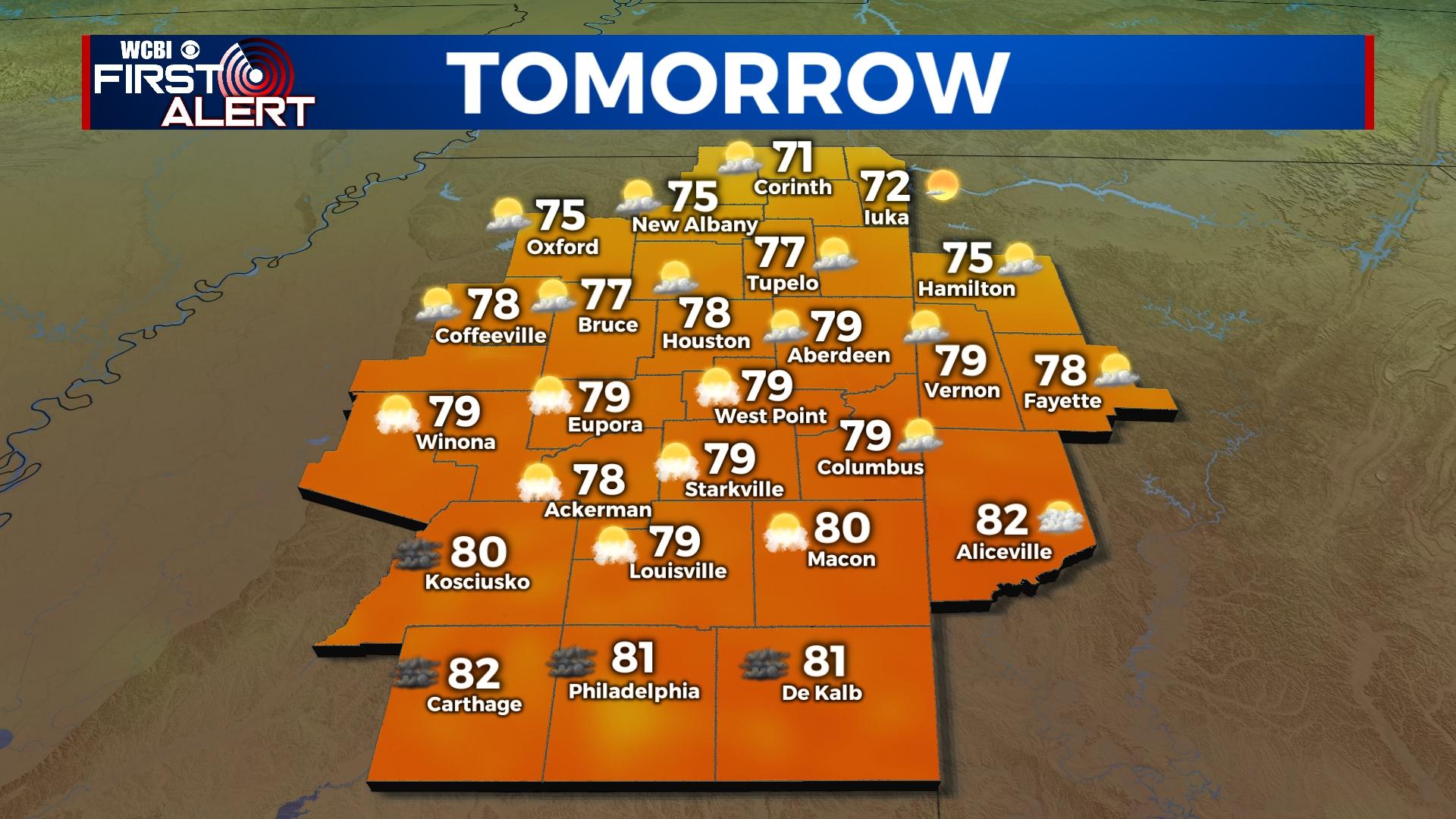
TUESDAY: Our second day of this week will have partly cloudy coverage in the sky. Temperatures are going to stay equally as warm as Monday, in the upper 70s to lower 80s. There will be hint more moisture, which could lead to a few scattered showers throughout the afternoon. Temperatures throughout the overnight hours will be mild once again, in the middle 50s.
WEDNESDAY: After a quick cold front moves through Tuesday, temperatures will be a hair cooler the rest of the week. Wednesday brings high temperatures into the middle 60s. Cloud coverage will be slightly heavier and the chance for rain increases. The low temperatures continue in the middle 50s.
THURSDAY/FRIDAY: High temperatures will remain in the middle to upper 60s for the end of the week. Heavy cloud coverage and the chance for rain showers continues. Friday brings in the chance of a few thunderstorms, which there is currently no severe threat. The overnight temperatures will fall from the middle 50s to the middle 40s by Friday night.


