Severe storms possible Friday afternoon
COLUMBUS, Mississippi (WCBI) – The threat for strong to severe storms increases Friday afternoon, and rain could linger into Saturday.
FRIDAY: As the air becomes warm & unstable by afternoon, scattered to numerous showers and storms are expected…mainly between 1 – 8 PM. If any storms can consolidate into short line segments or clusters, local severe threats would be increased. Otherwise, expect hail and damaging wind the primary concern…and while the tornado risk is not high, it is not zero. We’ll keep you guys posted all afternoon & evening.
FRIDAY NIGHT: While the severe storm risk may end after sunset, areas of rain may continue overnight w/lows in the 60s.
SATURDAY: Scattered rain looks to stick around through the morning hours, but we should transition into some drier weather/air by afternoon as a cold front finally pushes east of the region. If you’re headed to the Weenie Dog race or Market Street early, prepare for some rain.
SUNDAY: While drier air filters in, a cut off upper low evolves to the north…which could send some wrap-around moisture/cloud coverage back through the Mid-South. We don’t expect any rainfall, and it will be quite pleasant.
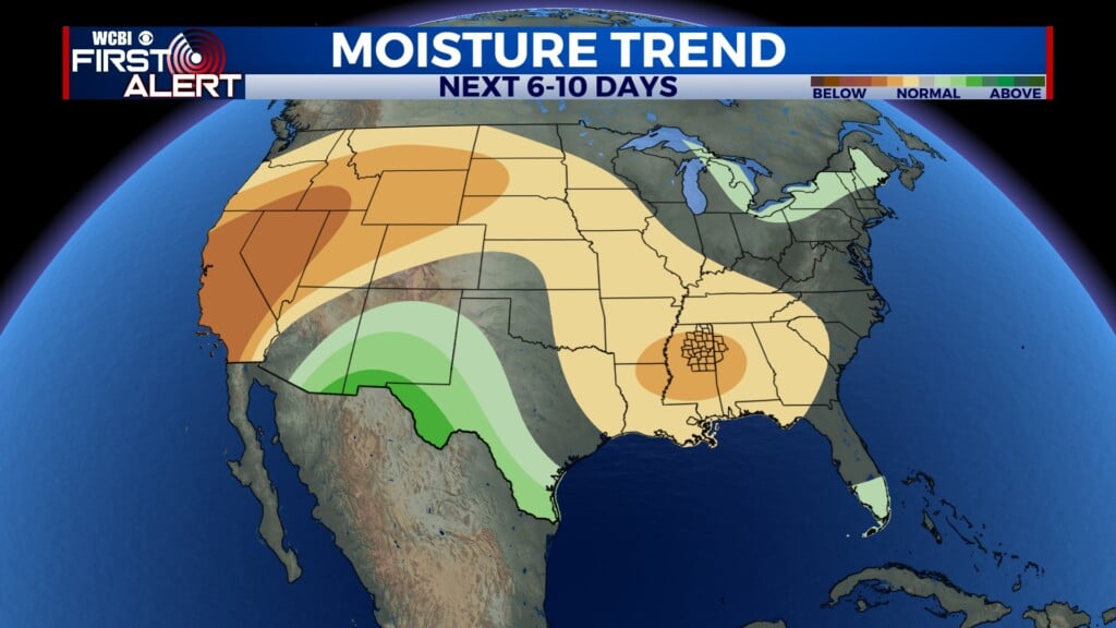
NEXT WEEK: Monday will feature fantastic weather before additional active weather builds in late Tuesday – Thursday.


