Severe Storms Possible Tomorrow
COLUMBUS, Mississippi (WCBI) – Ending the week with above average temperatures and the possibility of severe storms. Temperatures will be back in the 40s by the end of the weekend.
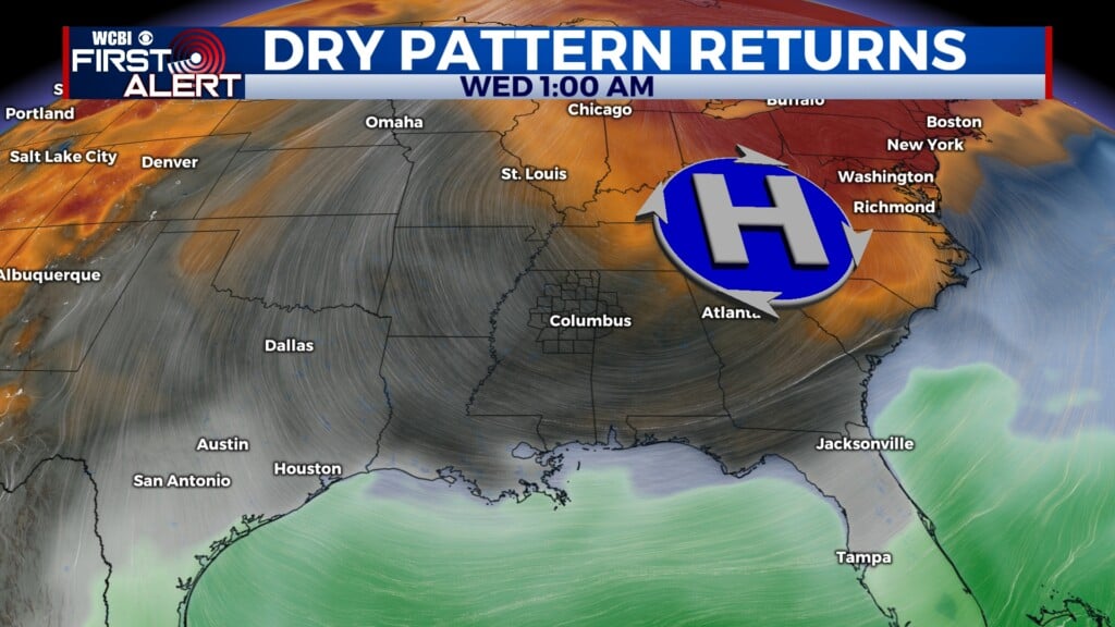
THURSDAY: Starting off your morning with fog and temperatures in the 50s before warming up to the 70s by the afternoon. Most of the day will be dry, cloudy, and windy.
THURSDAY NIGHT: Rain and storms will be possible as we head closer to midnight with a couple of isolated storms possible. In the early morning hours on Friday there is a potential for severe weather, pre-dawn hours. Keep your alerts on and stick with us for updates!
FRIDAY-SATURDAY: All of our coverage area is under a LEVEL 2 – SLIGHT RISK. There looks to be two round moving through: early Friday morning and then again Friday afternoon into Saturday morning. Currently, strong winds are the main concern. There is a low-end chance for a couple isolated tornadoes, but hail does not appear to be a big threat. The cold front that will move through after will drop those temperatures back into the 40s. Stay with WCBI for updates as we near this event.


SUNDAY: It will be a dry day with highs in the 40s in the afternoon. Lows will be in the upper 20s to low 30s overnight! Bundle up!