Showers, storms more likely to end the week
SUMMARY: A more active weather pattern is expected over the next several days across north Mississippi and west Alabama. Expect fewer storms by the weekend, and the summer heat returns by early next week!
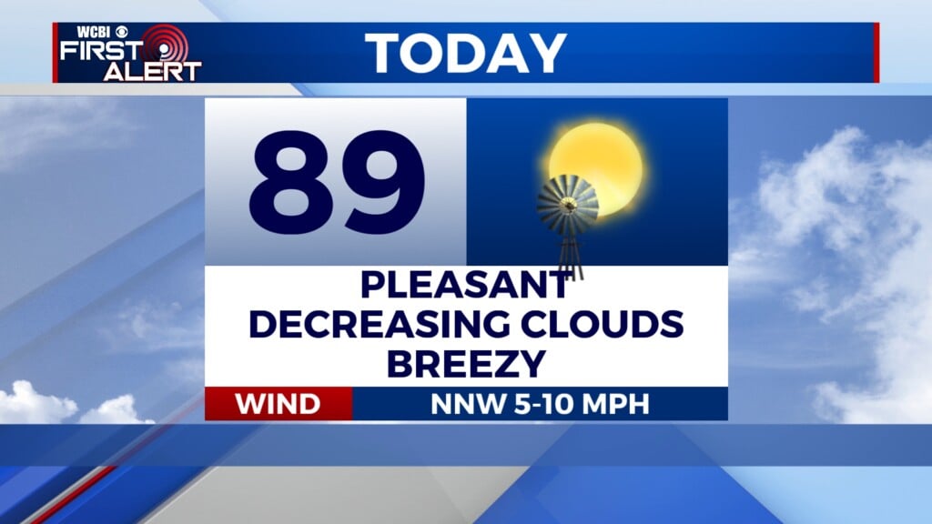
WEDNESDAY NIGHT: After an active day earlier, only an isolated shower or two is possible this evening and overnight. Expect lows in the middle 70s.
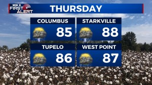
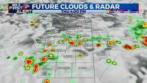
THURSDAY/FRIDAY: Showers and storms stay likely each day, especially from midday onward into the afternoon hours. Before the storms form, daytime highs will only manage the 80s thanks to persistent afternoon rain and increased cloud cover. Some of the showers and storms could be locally heavy or strong.
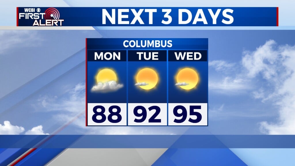
WEEKEND: Slightly drier weather looks to build in, especially toward Sunday. Daytime highs will reach back in the upper 80s and low 90s.
NEXT WEEK: Summer heat and humidity highlight the forecast but with little to no rain. Highs will easily be in the 90s with heat indices likely surpassing 100 degrees in many areas.