Soggy weekend ahead
COLUMBUS, Mississippi (WCBI)- Friday was enjoyably comfortable, with the sun and temperatures in the middle to upper 50s. Hopefully your Friday was enjoyed to the fullest, as the chance for rain this weekend increases.
FRIDAY NIGHT: The cloud coverage has stayed mostly clear throughout the day. The clouds will continue building in ahead of the next system moving in from the West. The overnight low temperatures for tonight will be in the middle to upper 30s.
SATURDAY: The weekend will begin with partly cloudy sky coverage that will continue building towards overcast ahead of the front. Rain chances stay dry through the morning and into the afternoon. High temperatures will be in the lower to middle 60s. Late afternoon and evening is when the rain showers are expected to push in across Mississippi. These showers are not going to have a severe risk, but a couple areas of thunderstorms are likely through the overnight hours. The low temperatures for Saturday night will be in the middle 50s, with the heavier cloud coverage holding in some of the warmth.
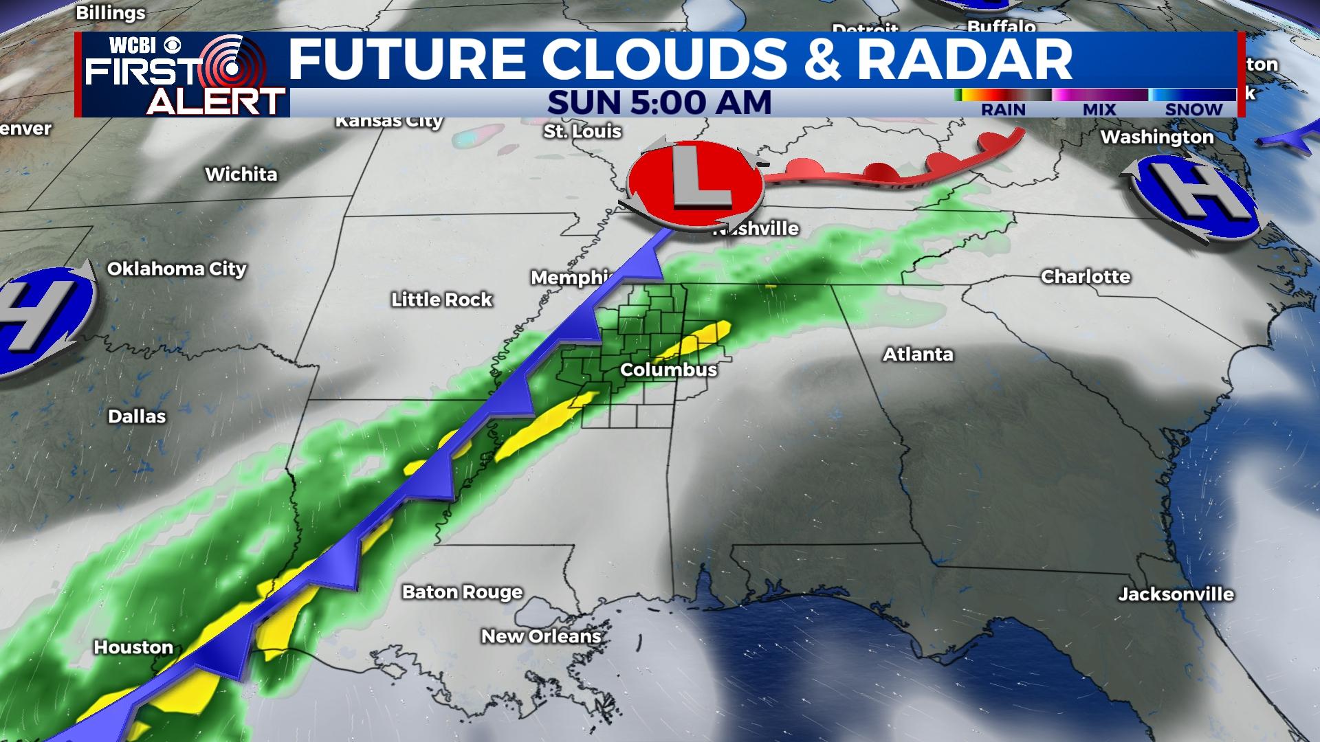
SUNDAY: Rain chances continue into the morning and afternoon on Sunday. High temperatures will reach into the upper 50s to lower 60s. The cold front will pass on Sunday. The frontal passage will help clear out any of the leftover rain showers and heavy cloud coverage from this system.
NEXT WEEK: The temperatures will remain mild in the 50s and 60s, with overnight low temperatures mostly in the 40s. A chance for rain returns again on Tuesday and Thursday.


