Staying hot with spotty showers & storms
COLUMBUS, Mississippi (WCBI) – After a busy Monday, rain coverage once again looks to decrease into mid-week. Temperatures stay just above average for early June.
TUESDAY: Under a mix of sun and clouds, highs top out once again near 90 degrees. Compared to yesterday, it looks a bit less active – only isolated showers or storms are expected in the peaking heating hours (3-7) PM.
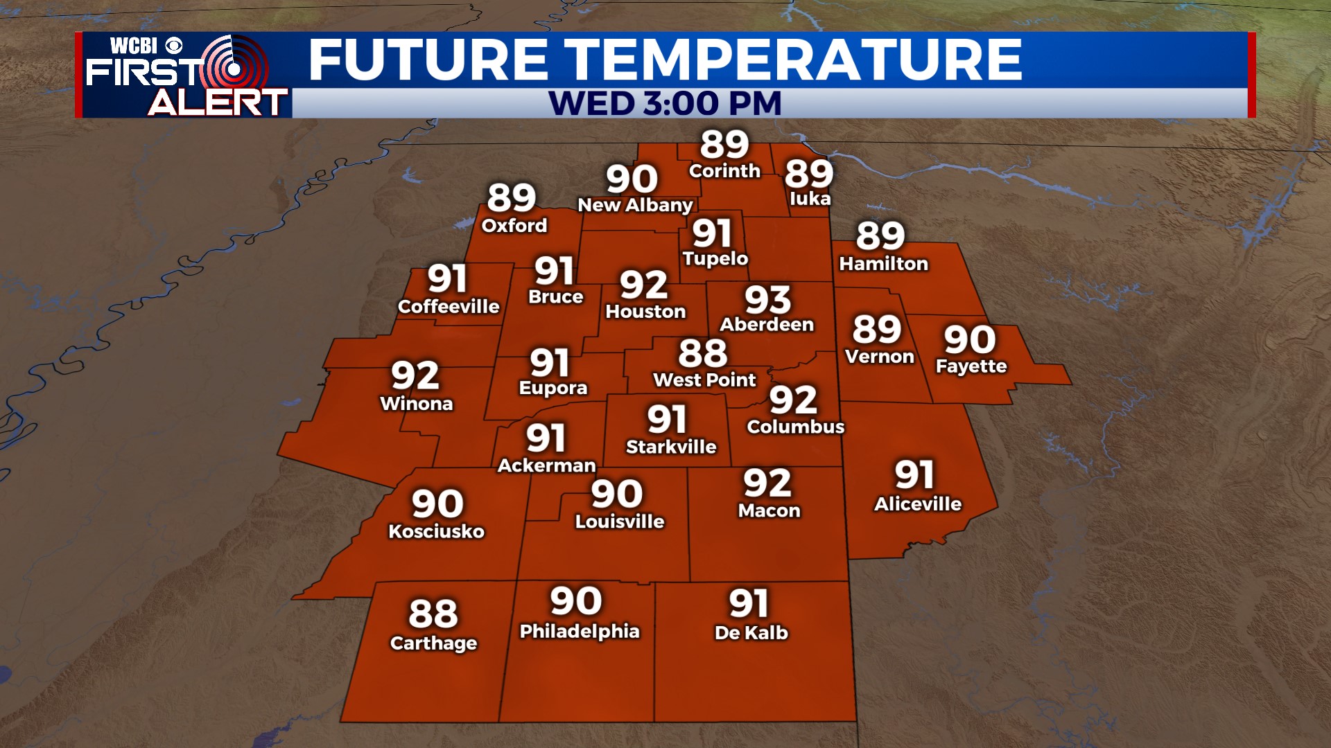
WED/THU: Ahead of an approaching front, temperatures may inch up a couple degrees Wednesday into the lower and possibly middle 90s. Once again, rain coverage will stay quite spotty during the day. The heat backs off slightly Thursday as the actual front begins to pass through, and this may help to bring us a few more downpours in the afternoon. Temperatures will drop to the lower 60s or even upper 50s late Thursday night.
FRI/SAT: The benefits of Thursday’s front will finally be felt! Overnight lows will average near 60 degrees Friday & Saturday mornings. The days will stay warm in the upper 80s.
SUNDAY: Another chance of showers and storms returns, perhaps during the evening hours.


