Staying unseasonably warm ahead of rain Saturday
COLUMBUS, Mississippi (WCBI) – Spring-like warmth will continue the next few days before rain arrives Saturday.
THURSDAY: Mostly cloudy, warm, and breezy at times with highs in the middle 70s. Much of the day will be dry, but some heavier showers and isolated storms could move into northern and northwestern parts of the region this evening. There is a nearby level 1 marginal risk of severe storms, but for now we do not expect any issues locally.
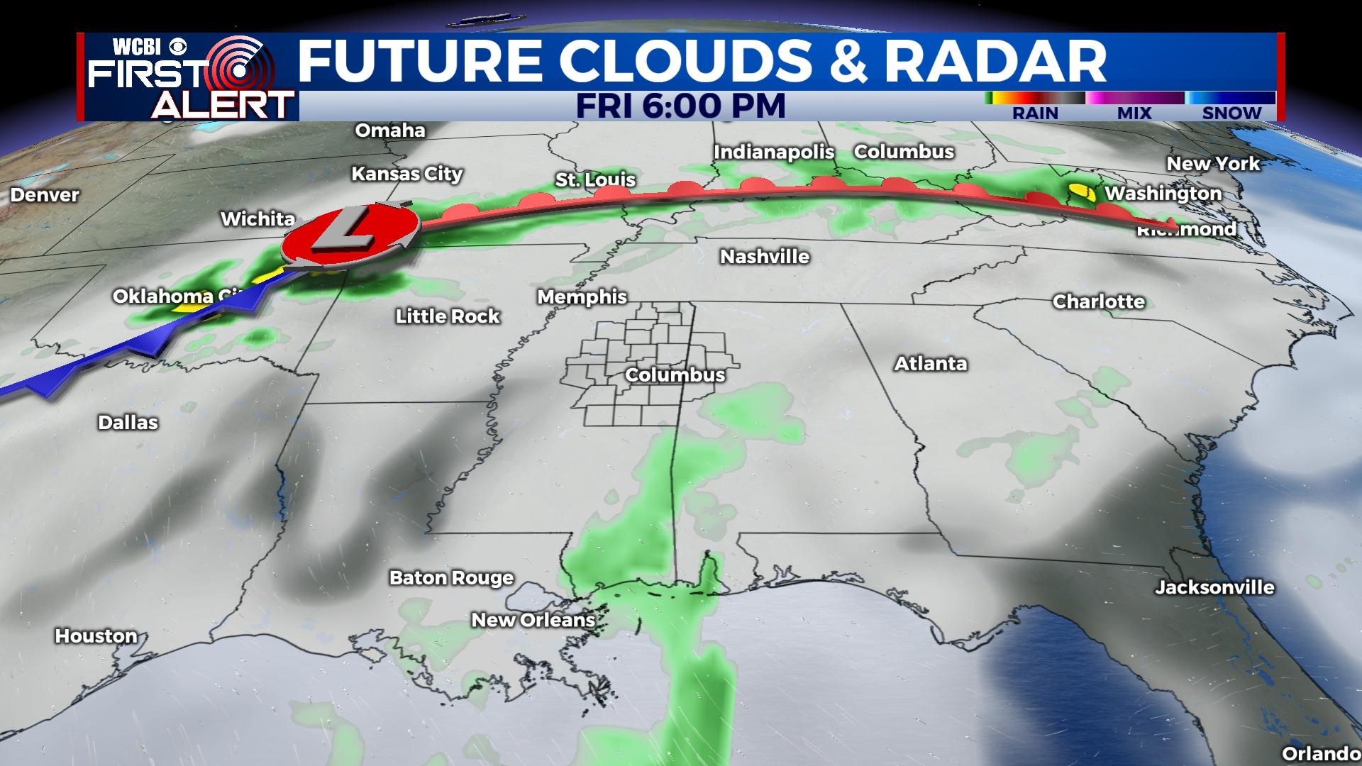
FRIDAY: Despite more clouds across the region, highs will reach the mid to possibly upper 70s. Late-day showers are possible, but the main story will be the spring-like warmth.
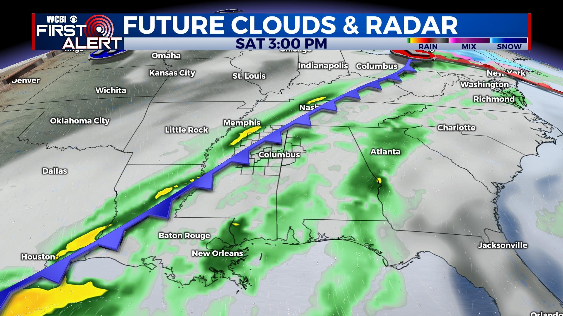
SATURDAY: A strong cold front should be crossing the MS River early in the day, bringing increasing rain chances toward midday and the afternoon. Highs will top out in the low 70s before the front arrives. Most of the rain will end late Saturday as temperatures plunge into the 30s by daybreak Sunday.
SUNDAY: Expect a decent weather day with a mix of sun and clouds and highs in the low 50s.
NEXT WEEK: Confidence in the overall evolution of the weather pattern remains low. However, another disturbance should swing through and bring another chance for showers late Monday into Tuesday. Daytime highs stay close to normal, though signs for warmer air yet again loom toward Christmas.