Staying warm with increased rain chances late week
COLUMBUS, Mississippi (WCBI) – Warmer than usual air continues this week, ultimately leading to increasing rain chances late week.
WEDNESDAY: With a mix of sun & clouds, highs should top out close to 80 degrees this afternoon. While showers or storms are most likely well south of the region today, one or two brief, pop-up showers could sneak into the area late-day.
WEDNESDAY NIGHT: Partly to mostly cloudy with lows in the upper 50s.
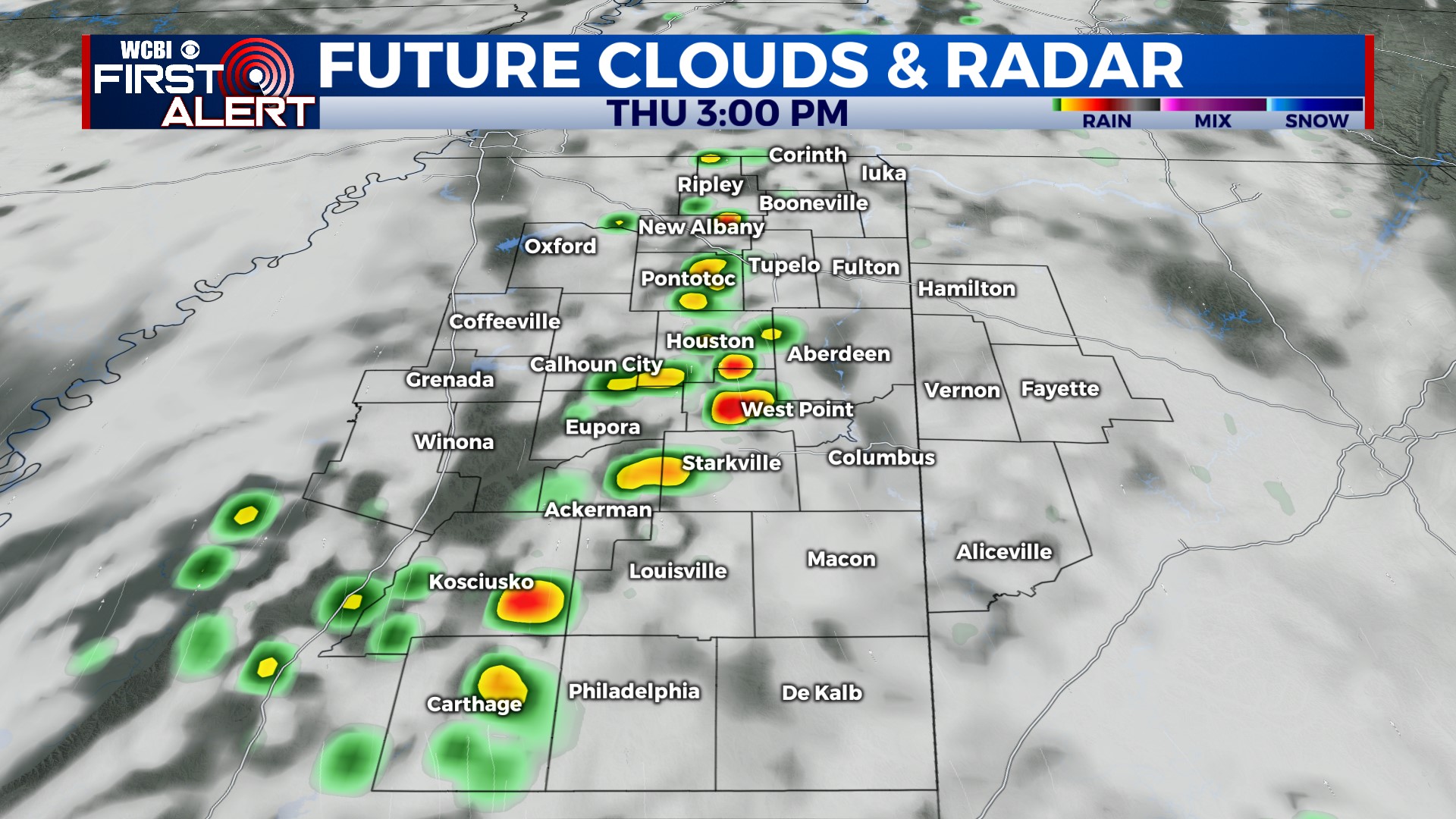
THURSDAY: Highs stay close to 80 degrees with variable clouds. Isolated storms are possible in the afternoon hours, though the best coverage of rain and storms should occur over Arkansas/Missouri.
FRIDAY: Uncertainty remains in the forecast given the chance of storms moving in during the morning hours. There’s a chance of strong storms if they hold together from overnight, but it’s plausible morning storms weaken and give way to new storms by midday/afternoon. Regardless, the environment will at least be marginally conducive for strong to severe storms…so stay tuned for more updates!
WEEKEND: There’s some hope there will be extended periods of dry time Saturday and Sunday. At this point, St. Patrick’s Day Sunday holds slightly better potential for rain. However, with a stalled front nearby, prepare for additional forecast updates.


