Staying warm with occasional rain chances
COLUMBUS, Mississippi (WCBI) – Temperatures likely stay above average until the weekend, with some cooler air moving in by Sunday & early next week.
TUESDAY: Expect variable clouds with intervals of sun and another warm day across the region. Afternoon high temperatures once again should reach the middle 80s for most, with south winds gusting up to 25 mph at times. Save for a quick, rogue shower…most places stay dry today.
TUESDAY NIGHT: An approaching front may kick off a few showers or brief storms after midnight across north/northwestern MS, but these shouldn’t amount to much. Lows will only drop into the middle 60s with extra clouds and a lingering breeze.
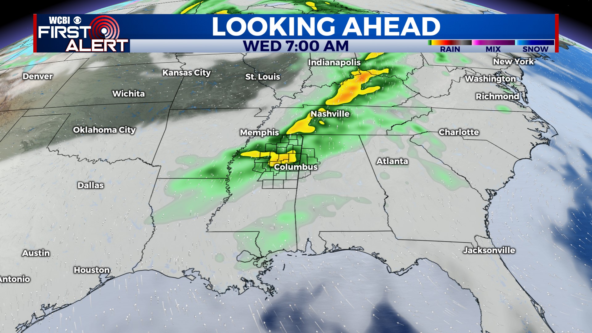
WED – FRI: Said approaching front becomes more diffuse and stationary by Wednesday, keeping things quite warm and humid across our region. However, with relatively weak shear and no discernible upper-air features, rain or storm coverage will be very hit and miss. There are some signs we could see a stronger front push in late-week, and this could create a slightly better chance for a few storms late Thursday. Regardless, confidence remains fairly low in the overall rain coverage and timing forecast.
WEEKEND: Clouds will linger, and at least isolated to scattered showers stay possible Saturday. Slightly higher rain chances are possible Sunday as moisture runs up & over a stalled front to our south. Daytime highs may drop into the low 70s or even upper 60s by Sunday.