Still warm and dry, changes coming soon
COLUMBUS, Mississippi (WCBI) – The start of February! A new month beginning with warmer than average temperatures and dry conditions. Changes are on the way though, especially going into the weekend.
THURSDAY NIGHT: The high pressure system that lingered over northern Mississippi yesterday, has weakened and slid off to our SE. That movement has allowed for extra cloud coverage to begin moving in and across Mississippi, starting late afternoon. More clouds will file in overnight, as temperatures drop into a range of middle 30s to lower 40s across the area.
FRIDAY: A partly cloudy sky will continue through majority of the day. A cold will move in from the North, not causing changes to our temperatures. It may allow for a few of the clouds to clear away for a few hours. Temperatures will be heading into the upper 60s to lower 70s! A nice and warm Groundhog day. For anyone taking bets, Punxsutawney, PA will be nearly overcast. 😉
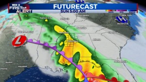
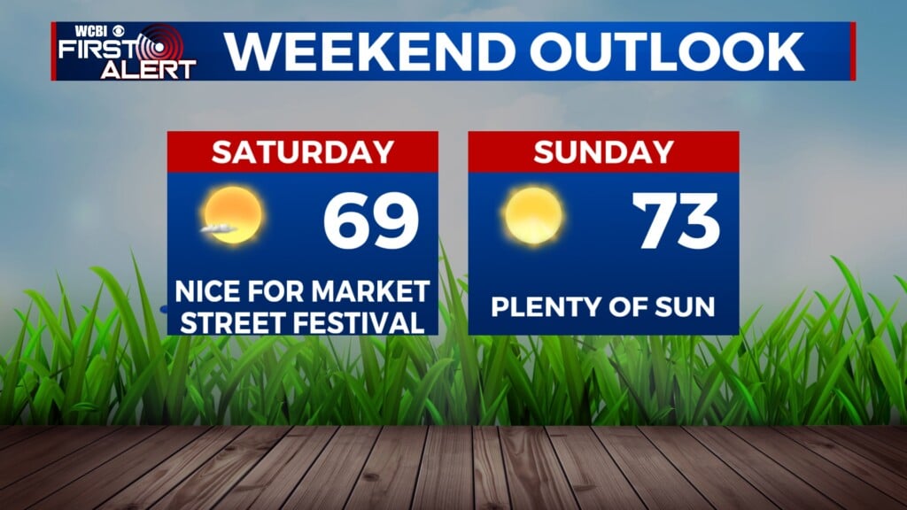
WEEKEND: Here come a few more of those changes. Most of Saturday will be dry, but cloudy. High temps Saturday continue in the upper 60s. More clouds will fill in ahead of the rainy system. The rain will arrive in our western and SW counties late Saturday night. Showers continue throughout Sunday, allowing temps to only reach into the low to middle 50s. Big temperatures drop! Overnight lows will tolerable both nights, in the middle to upper 40s.


