Storms heading this way tomorrow
COLUMBUS, Mississippi (WCBI)- Temperatures this week are going to be fairly steady within the middle 70s, expect for Wednesday. There are increased chances for showers and storms this week too.
MONDAY: Temperatures today are going to be in the upper 70s to lower 80s. Cloud coverage will be building in throughout the day.
MONDAY NIGHT: Cloud coverage will become heavier through the overnight hours. Low temperatures tonight fall into the middle 60s. There is a 20% chance for evening showers.
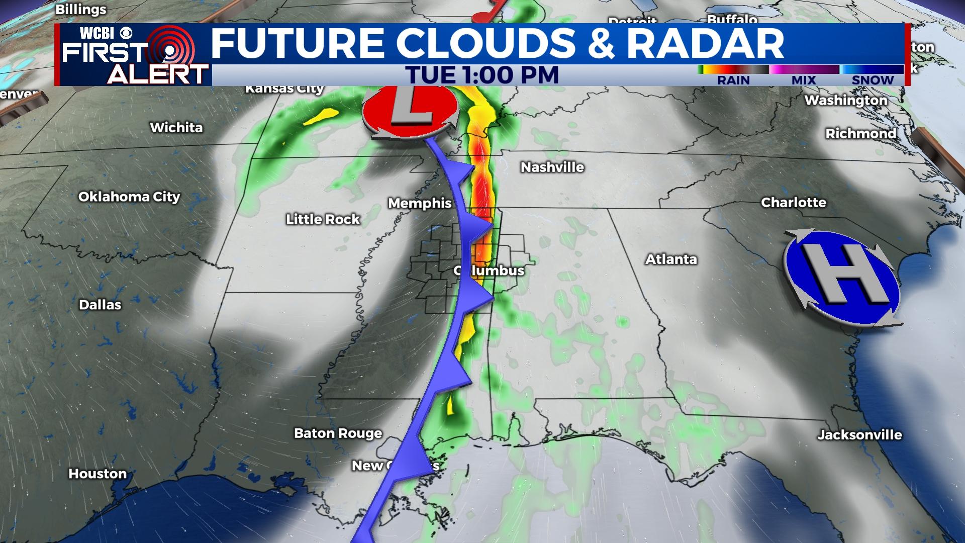
TUESDAY: High temperatures will reach the middle 70s, with heavy cloud coverage. There is an 80% chance of seeing showers and storms throughout the day. It looks like the cold front will reach the western Mississippi border around 8AM and will clear the eastern border around 3PM. The Storm Prediction Center has all of Mississippi in the Level 2 – Slight Risk for severe weather. Gusty winds, heavy rain are likely. Hail and tornadoes are possible. Overnight low temperatures will fall into the upper 40s.
REST OF THE WEEK: Wednesday will be the coolest day this week, temperatures reaching the upper 60s. By Thursday and Friday, temperatures head back into the middle 70s with mostly clear and sunny sky conditions.


