Storms Likely Today, Drier Air for Next Week
Heat advisories still in place, storms expected after lunch.
COLUMBUS, Mississippi (WCBI) – Strong storms are expected this afternoon through the evening following the passage of a surface front. Drier air will be present next week lowering our humidity.
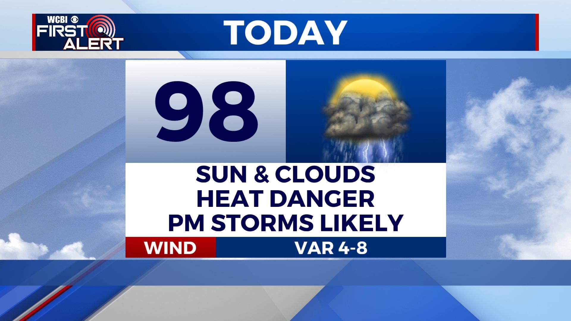
SATURDAY: Dangerous heat with temperatures reaching the upper 90s and perhaps 100 in some places. Heat index values remain as high as 111. This afternoon, strong t-storms are likely to develop across the area. These storms are expected to be widespread and dissipate before midnight.
Main threats include: Damaging winds, possible hail, lightning, and heavy rainfall.
SUNDAY: A mix of sun and clouds with a 20% chance of showers and t-storms mainly in the afternoon. High temperatures will land near 93 with lows in the low to mid 70s.
REST OF NEXT WEEK: Drier air settles in behind the front lowering our dew points and humidity. Daytime highs will range in the 90s with lows in the 70s. Shower and storm chances remain in the forecast as daytime heating and gulf moisture allow for cloud development.


