Stormy pattern continues
A few rounds of showers and thunderstorms rolled through the region today. Heavy rain and lightning occurred with the strongest cells. The last remaining thunderstorms will weaken overnight and we should stay dry through tomorrow morning. Rain chances will remain in the forecast for the rest of the outlook.
TONIGHT: Showers and thunderstorms becoming less numerous overnight. Low temperatures in the upper-60s. Chance of rain: 60% before midnight, then 20% overnight.
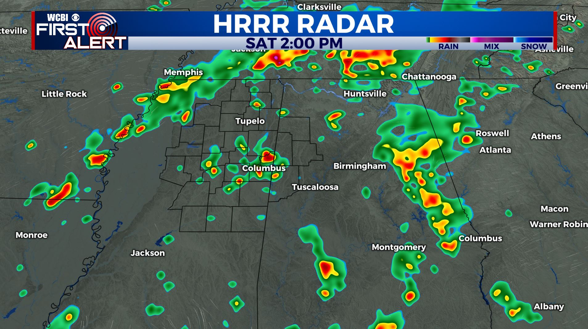
SATURDAY: Showers and thunderstorms likely with afternoon high temperatures in the low-80s. Chance of rain: 70%.
SATURDAY NIGHT: Scattered showers and thunderstorms early, then a few showers possible overnight. Chance of rain: 60%. Overnight lows in the upper-60s.
NEXT WEEK: Deep tropical moisture will remain through the region into at least the first half of next week. Rain may be heavy at times over the next five days. If you are hoping for some more sunshine to return to the area, then look no farther than the extended forecast. A deep trough will dig across the central U.S. and eventually bring a blast of fall air to the region by the end of next week. In fact, afternoon high temperatures are likely to max out in the mid-to-upper 70s Thursday and Friday of next week.


