Strong storms arrive early Sunday morning, cooler next week
COLUMBUS, Mississippi (WCBI) – Showers and locally strong storms arrive overnight into early Sunday. Freezing temperatures are likely next week.
SATURDAY: Clouds will continue to slowly increase through the afternoon with highs in the 60s. A few showers could break out over far northern spots, near US 72 into Tennessee. Most of northeast MS will remain dry during the day.
SATURDAY NIGHT: Showers and storms will quickly move into the region, likely after midnight. Some of these storms could produce gusty winds or hail, and some hail stones could briefly exceed quarter size. Use covered parking overnight if possible!
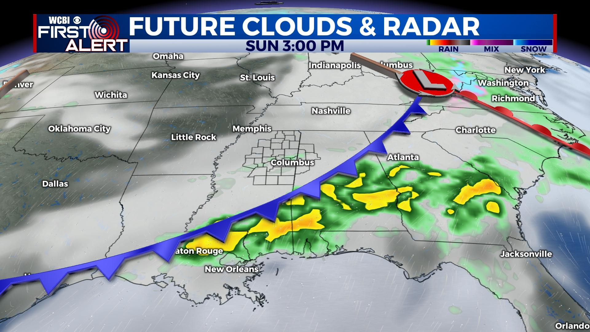
SUNDAY: Showers and storms will likely be ongoing during the morning hours, but the severe weather threat at this point should be quite low. The parent front will continue moving southeast across the state, reinvigorating ongoing storms to the southeast of the WCBI coverage area. Severe storms are likely over the Pine Belt into southern Alabama and parts of the FL Panhandle.
NEXT WEEK: Colder weather highlights the first half of the week’s forecast. Highs will be in the 50s Monday and Tuesday with freezing temperatures Monday and Tuesday nights. Warmer weather returns Thursday ahead of the next front, which is set to move through Friday. At this point, limited moisture should preclude any major storm risk.