Strong storms Friday night, then much COOLER for weekend
COLUMBUS, Mississippi (WCBI) – SUMMARY: A strong cold front brings a chance of severe storms Friday night before sharply cooler air moves in for the weekend.
FRIDAY: Spotty showers are possible through the day with a mix of sun and clouds. Afternoon highs will reach the upper 80s with a southwest breeze.
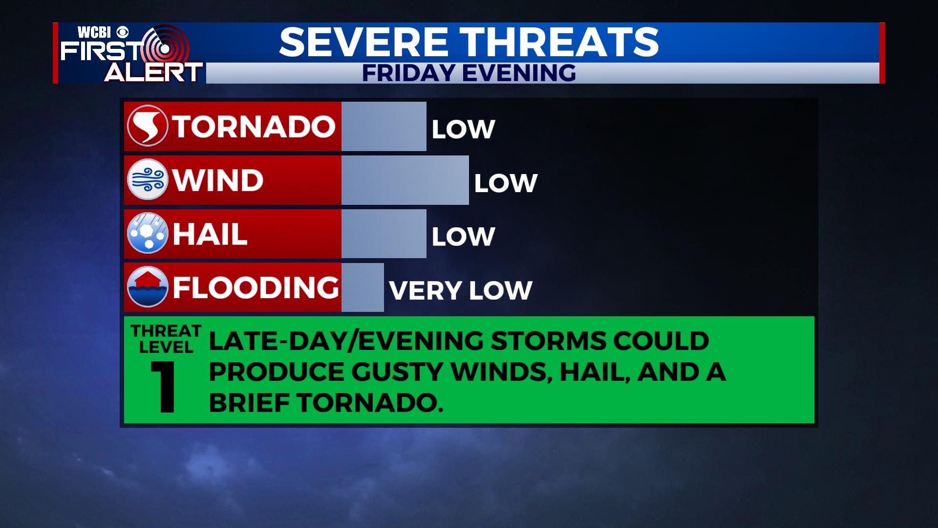
FRIDAY NIGHT: Scattered showers and storms are likely to develop into northern MS around sunset ahead of a strong front. These storms could become locally severe with gusty winds, hail, and even a brief tornado. This threat should end as the cold front moves east by midnight. By daybreak Saturday, temperatures are likely to be in the 50s with gusty northwest breezes!
WEEKEND: Expect full sun both days and much cooler air! Highs will struggle to reach the upper 60s Saturday and low 70s Sunday. Sunday morning’s temperatures will easily drop into the lower 40s – the coolest we’ve seen since spring.

NEXT WEEK: Temperatures will slowly moderate during the day but should stay in the mid to upper 70s. Morning temperatures will stay in the 40s through Tuesday morning with slightly milder mornings for Wednesday and Thursday. For now, the next chance of rain looks to move in Friday.