Sunday Forecast, What to Expect Next Week
Staying dry through Sunday, Increased storm chances on Monday but the heat sticks around.
COLUMBUS, Mississippi (WCBI) – Hot and dry through Sunday, sweltering heat sets in next week with increased rain and storm chances on Monday and Thursday.
SATURDAY NIGHT: Mostly clear overnight with lows landing near 73.
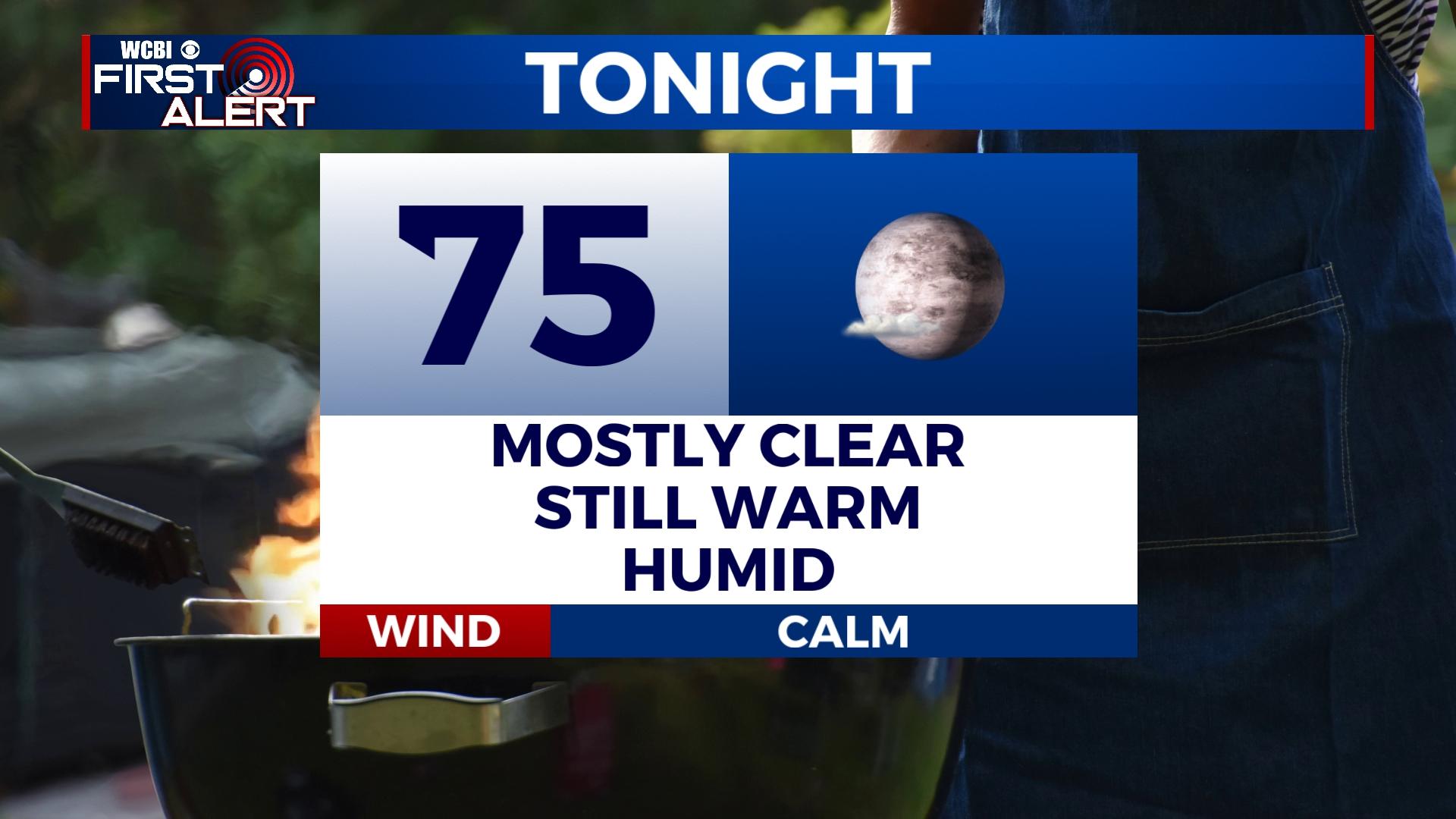
SUNDAY: Increasing clouds through the day with temperatures topping out in the low to mid 90s. Staying warm overnight with a low near 75.
MONDAY: A 40% chance of scattered showers and t-storms will stand in the forecast all day long. This rain chance is associated with a weak frontal boundary pushing south through the region on Monday. Unfortunately, high-pressure will continue to dominate the Deep South leaving us with sweltering heat. High: 91, Low: 75.
REST OF NEXT WEEK: With high-pressure occupying the area, temperatures will soar to highs near 100 on Wednesday. Heat index values will exceed 105 most every day! This is dangerous heat, be certain to take breaks from outside and do not overexert yourself. A friendly reminder to check in on your neighbors and pets! Rain chances return Thursday and linger into the start of the weekend. Temperatures remain in the upper 90s with lows in the upper 70s.


