Taste of fall on the way to north Mississippi
SUMMARY: Today marks the transition to less humid air for the next several days, bringing a brief taste of fall to the region.
WEDNESDAY: Expect a mix of sun and clouds through the day as temperatures climb close to 90 degrees by afternoon. This will be in advance of a frontal passage expected in the evening.
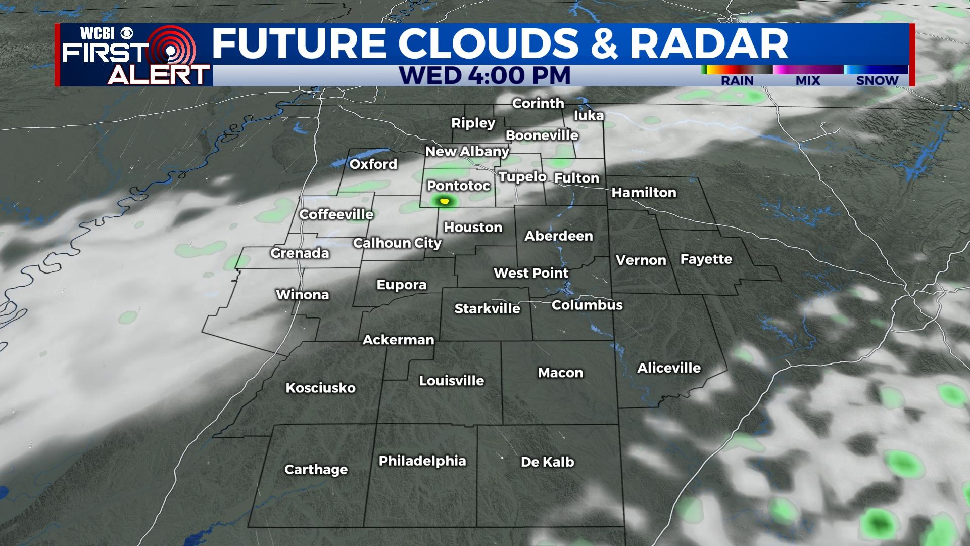
WEDNESDAY NIGHT: A few brief showers are possible along this cold front, but most places will likely not see measurable rain. Much more refreshing air will be on this front’s heels!
THURSDAY/FRIDAY: Expect almost full sunshine both days with highs back in the lower to middle 80s with very comfortable mornings in the low 60s Thursday and down in the 50s Friday morning! This will be the first true taste of fall (albeit brief) we’ve had.

WEEKEND: The sunshine train keeps on going through Saturday and Sunday with no weather concerns. Humidity levels will creep back up, but it won’t be an insufferable heat. Expect highs in the upper 80s.
NEXT WEEK: Deep southeast flow off the Gulf will allow for the return of showers and potentially a few storms to the forecast by Tuesday.