The Heat Continues
COLUMBUS, Mississippi (WCBI) – With the next work week upon us, there is not much heat relief in sight. Temperatures will take a shot at the century mark mid-week thanks to a strengthening ridge of high pressure in the central US. By the end of the week, a cold front will move into the region and bring a slight chance for rain and a small drop in temperatures.
TONIGHT: Clear skies and a low of 72.
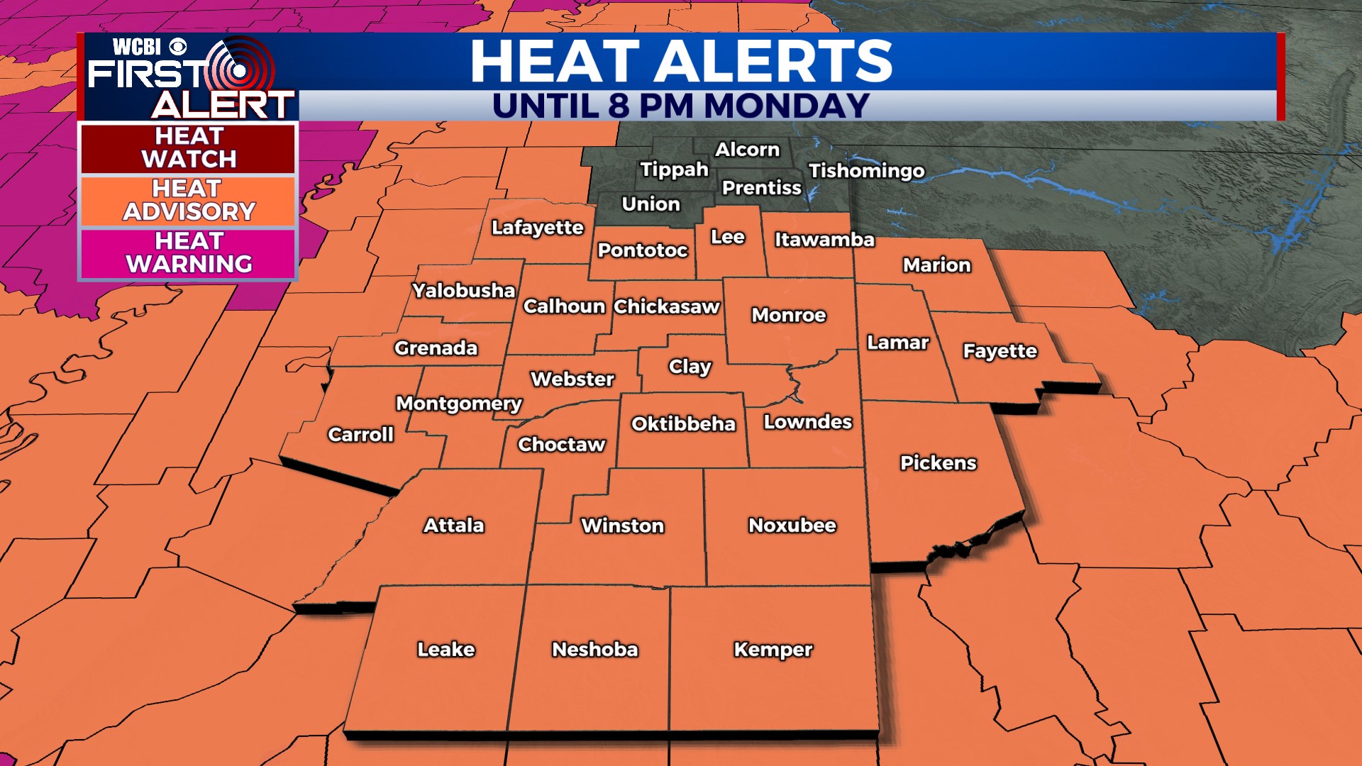
MONDAY: The heat will turn up a little more on Monday. High temperatures are expected to reach the mid-90s. Combined with humidity, heat indexes could reach 110. A heat advisory has been issued for most of us, with the exception of communities along the Tennessee border.
MID-WEEK: Our best shot at reaching 100 degrees so far this summer comes in the middle of the week. Expect more heat alerts to be issued because ‘feels like’ temperatures will hover in the 105-110 range. Be sure to follow your heat safety precautions during this oppressive heat!
NEXT WEEKEND: A cold front is forecast to pass through the region on Saturday. It will bring our next chance for rain, albeit small. In addition to a few showers, temperatures will drop back to average in the low-90s.


