Thursday stays dry before Friday storm potential
COLUMBUS, Mississippi (WCBI) – Mostly dry conditions tonight and into Thursday, giving us a tease of what nice conditions could be. Friday brings us another rounds of showers and thunderstorms to finish off the week.
WEDNESDAY NIGHT: Really… a great night, not many complaints. Sky conditions maintain mostly clear to partly cloudy. Temperatures will be comfortable, only dropping into the lower 50s. The chance of patchy fog will continue overnight tonight and into tomorrow morning.
THURSDAY: A good day, hesitation on saying great, as heavier cloud coverage will fill back in early Thursday morning. A sign of extra moisture approaching too. High temperatures will continue in the low to middle 70s. There is a light chance for some sort of sprinkle or shower going Thursday evening into Friday. Low temperatures will be mild in the middle to upper 50s.
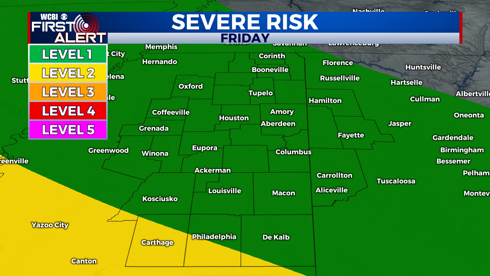
FRIDAY: Bringing in the next round of rain showers and thunderstorms! Temperatures will be a little bit cooler, reaching the upper 60s to lower 70s. Rain chance looks to begin early Friday morning in our western and NW counties. Showers and storms will continue across Mississippi throughout the day, Friday. A few stronger to potentially severe storms still aren’t out of the question. The Storm Prediction Center has placed most of our viewing area in Level 1 – Marginal Risk, with Level 2 grazing our SW counties. Locally heavy rain and nuisance flooding are still the primary concerns. If more unstable air can surge northward Friday evening, then there may be a brief overlap of better shear/instability. It’s something we’ll watch carefully over the next couple of days.
WEEKEND: Some showers are likely to continue into Saturday morning, drying and clearing out by Saturday afternoon. Temperatures will be in the low to middle 60s. Sunday morning will be in the lower 40s, while Monday morning will drop into the middle 30s because of a clearer sky.


