Trending hotter & drier for Friday
COLUMBUS, Mississippi (WCBI) – Showers and storms will be less widespread for Friday as drier air works in from the north.
TONIGHT: Any showers should weaken before midnight, leaving a partly to variably cloudy sky overnight. Expect lows around 70 degrees.
FRIDAY: As drier air works in behind a weak front, highs may rebound into the lower 90s as the best chance for rain shifts well south of the region.
WEEKEND: Much improved-feeling air is still expected Saturday as dew point temperatures drop into the 50s. This will make the low 90s and sunshine feel more refreshing! Humidity makes a return Sunday, but the weather should stay dry with highs staying in the lower to middle 90s.
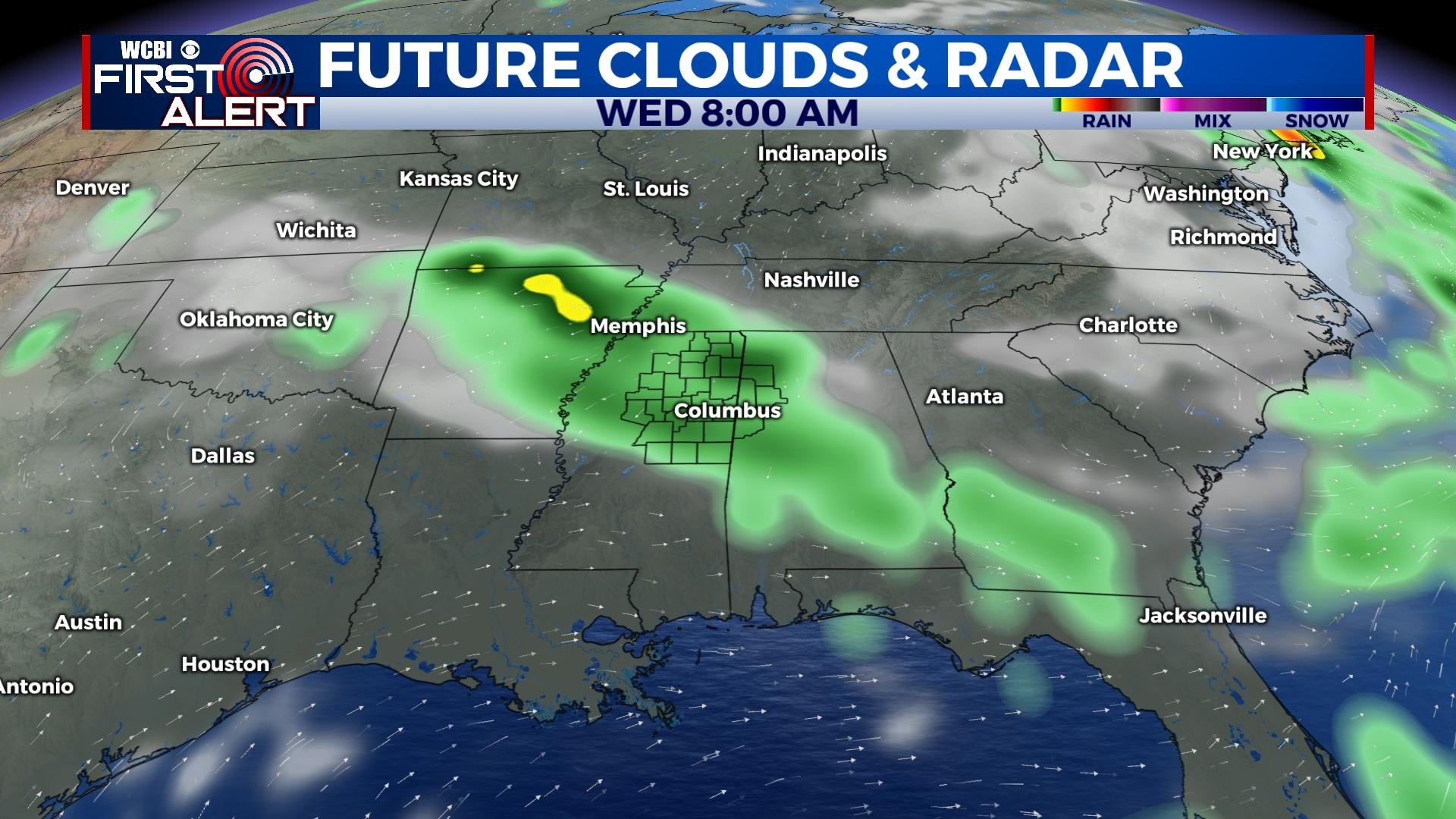
NEXT WEEK: The first of the week still looks to stay mostly dry ahead of the next slow-moving front. Showers and storms may become widespread by mid-week on Wednesday along with another drop in temperature. Stay tuned as forecast details slowly get ironed out!