Trending hotter, mostly dry week ahead
COLUMBUS, Mississippi (WCBI) – Mostly dry weather takes shape this week as temperatures trend higher. Upper 90s are likely by mid-week.
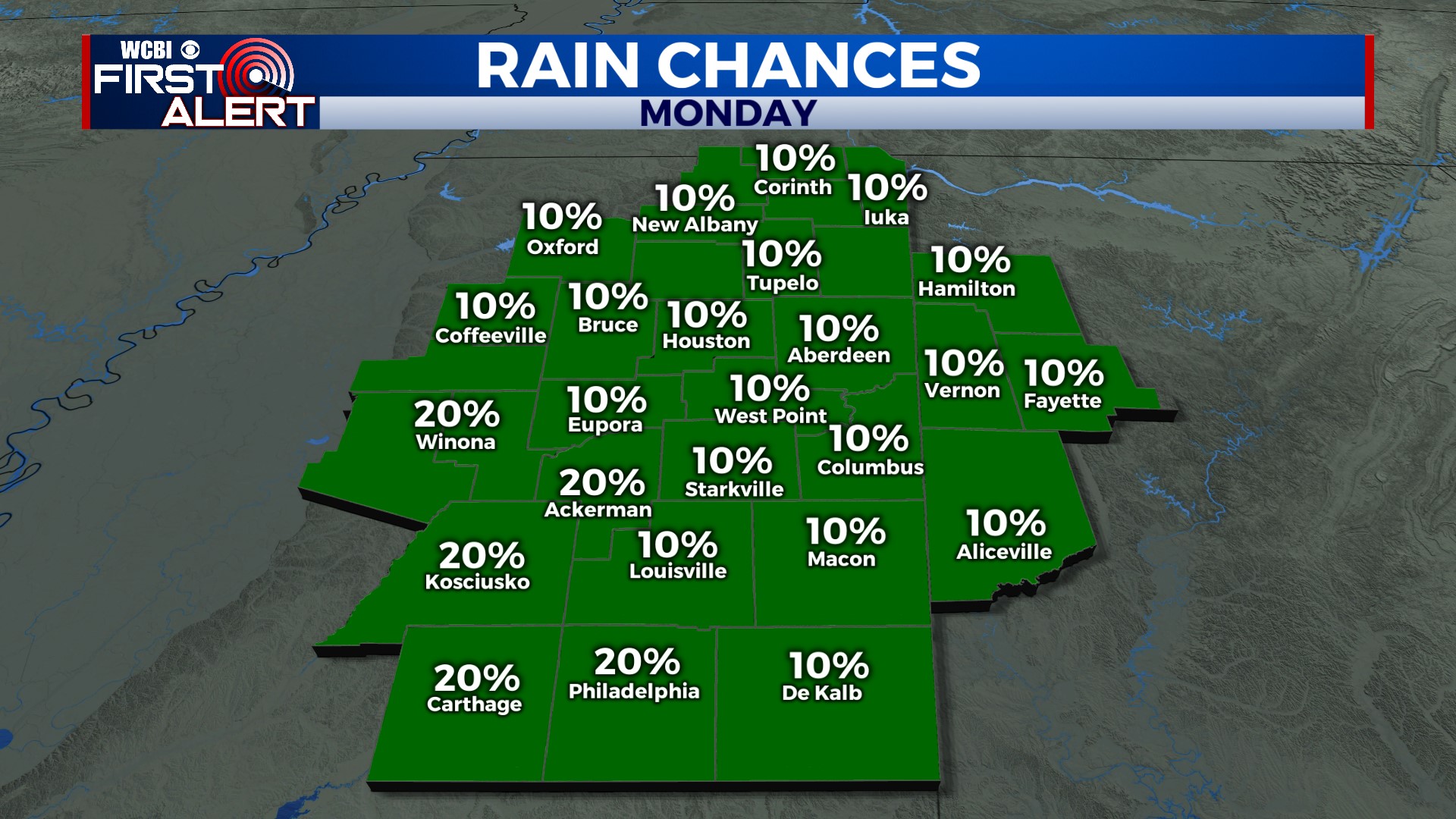
MONDAY: Expect a mixture of hazy sun and fair weather clouds by afternoon, leading to highs in the lower to possibly middle 90s. The heat index could rise as high as 103° but should remain below the “critical” threshold of 105°. While a rogue shower or two is possible, most will stay dry.
TUESDAY: A fairly strong disturbance is set to pass just north/northeast of the region, on the periphery of a strengthening ridge to the west. This could mean a few storms sneaking into NE MS or NW AL during the afternoon…and these could be locally strong if so. Otherwise, daytime highs moderate into the middle 90s.
WED/THU: The hottest stretch this week! Highs will trend into the upper 90s, but given recent bouts of heavy rain, most thermometers will stay shy of 100°. Thankfully, it looks like moisture won’t be pooling about the region…which should keep the heat index at least below 110 degrees.
FRIDAY/WEEKEND: The aforementioned ridge is set to retrograde westward, allowing scattered showers and storms to return by Friday. Scattered storms continue into Saturday as well. Heat levels should come down a solid 8-10 degrees.


